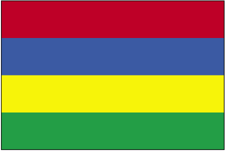
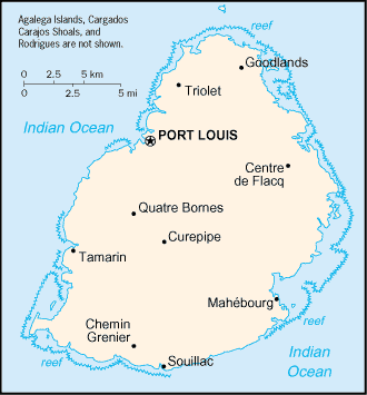
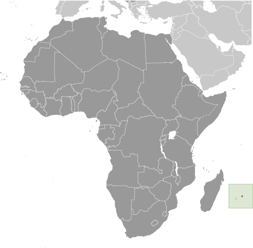
Learning about Mauritius's geography is pivotal because it helps your K-12 students understand how a small island nation can become a diverse, successful crossroads of cultures. Mauritius is an island country in the Indian Ocean, located about 1,200 miles off the southeast coast of Africa, east of Madagascar. It includes the main island of Mauritius and several smaller islands. The island was formed by volcanic activity, creating a central plateau surrounded by mountains and coastal plains. Coral reefs ring much of the coast, protecting beaches and lagoons.
Studying Mauritius builds key geographic skills. Your pupils can explore how volcanic origins and tropical climate create fertile soil for growing sugarcane, which is a major export. They can also learn how tourism, textiles, and financial services connect Mauritius to the global economy. The country's reefs and forests support unique wildlife, including the extinct dodo, which lived only there.
The country's cultural geography is remarkably rich, with people of Indian, African, Chinese, and European descent speaking English, French, and Creole. This blend makes Mauritius a striking example of how geography and history create diversity. For your smaller learners, Mauritius is memorable because of its beaches, reefs, and the story of the dodo. Studying it builds map skills, cultural awareness, and understanding of how geography shapes a nation's identity and success.
|