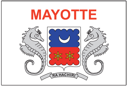
Learning about Mayotte's geography is pivotal because it helps your K-12 students understand how a small island group can be both African and European at the same time. Mayotte is an archipelago in the Indian Ocean, located between Madagascar and Mozambique in the Comoros Islands chain. It is an overseas department of France, which means it is legally part of France and the European Union, even though it sits off the coast of East Africa. The main island, Grande-Terre, is surrounded by a large coral lagoon, one of the biggest in the world.
Studying Mayotte builds key geographic skills. Your students can explore how volcanic and coral islands form differently, and how the lagoon protects marine life like turtles and dolphins. They can also learn how the tropical climate supports farming of vanilla, ylang-ylang, and coconuts, connecting the island to global markets. Mayotte's location makes it a destination for migrants from nearby islands seeking better opportunities, linking geography to migration issues.
The cultural geography blends African, French, and Comorian influences, with Shimaore and French spoken widely. For your young learners, Mayotte is memorable because of its coral reefs, lagoons, and unusual status as a French island in Africa. Studying it builds map skills, cultural awareness, and understanding of how geography shapes identity in a place that belongs to two continents at once.
|