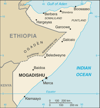
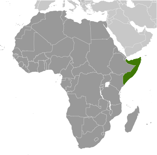
Learning about Somalia's geography is pivotal because it helps K-12 your students understand how location, coastline, and climate shape a nation's challenges and opportunities. Somalia sits in the Horn of Africa, bordered by Djibouti, Ethiopia, and Kenya, with the longest mainland coastline in Africa along the Gulf of Aden and Indian Ocean. This location made it a historic hub for trade between Africa, Arabia, and Asia. Most of the country is dry, with savanna and semi-desert landscapes, and only two rivers, the Juba and Shabelle, flow through the south.
Studying Somalia builds key geographic skills. Your K-12 pupils can explore how scarce rainfall and drought affect farming and herding, which most Somalis depend on. They can also learn how Somalia's long coastline supports fishing and trade, and how its position near the Red Sea and Arabian Peninsula connects it to global shipping routes. These features help explain why Somalia has been important for commerce for centuries.
The country's cultural geography is rich, with Somali people sharing a common language and strong traditions of poetry and Islam. For young learners, Somalia is memorable because of its camels, coastline, and nomadic heritage. Studying it builds map skills, cultural awareness, and understanding of how geography shapes a nation's economy and identity in the Horn of Africa.
|