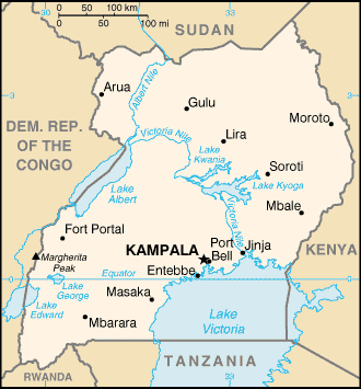
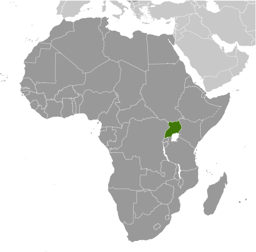
Learning about Uganda's geography is pivotal because it helps your K-12 students understand how a landlocked country can be rich in water, wildlife, and fertile land. Uganda sits in East Africa, bordered by South Sudan, Kenya, the Democratic Republic of the Congo, Rwanda, and Tanzania. It has no coastline, so trade depends on roads and neighbors. Despite being landlocked, Uganda has many lakes and rivers, including Lake Victoria, Africa's largest lake, which it shares with Kenya and Tanzania. The Nile River begins its long journey at Lake Victoria in Uganda.
Studying Uganda builds key geographic skills. Your students can explore how lakes and rivers provide water, transportation, and hydroelectric power. They can also learn how fertile volcanic soil and regular rainfall support farming of coffee, bananas, and tea, which connect Uganda to global markets. The country's forests and savannas are home to mountain gorillas, elephants, and chimpanzees, making it important for conservation.
The country's cultural geography is rich, with over fifty ethnic groups, including the Baganda, Banyankole, and Acholi, speaking many languages. For young learners, Uganda is memorable because of Lake Victoria, the Nile's source, and mountain gorillas. Studying it builds map skills, cultural awareness, and understanding of how geography shapes a nation's economy and environment.
|