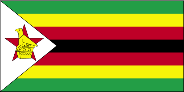
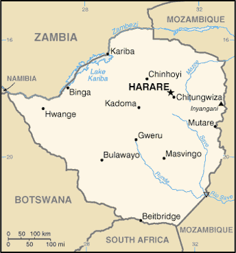
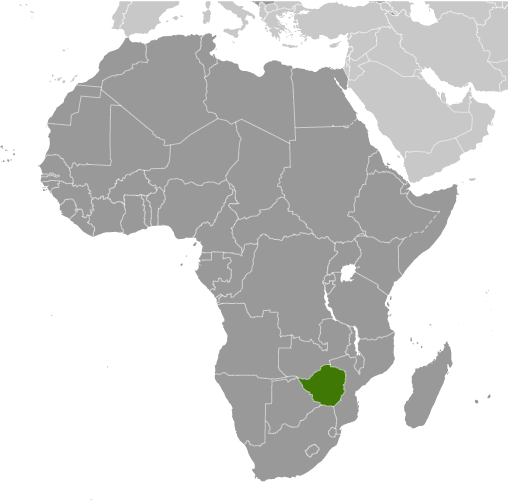
Learning about Zimbabwe's geography is pivotal because it helps your K-12 students understand how a landlocked country's landscape shapes its economy and culture. Zimbabwe sits in southern Africa, bordered by Zambia, Mozambique, South Africa, and Botswana. It has no coastline, so trade depends on roads and railways through its neighbors. The country sits on a high plateau, which gives it a milder climate than many African nations. The Zambezi River forms its northern border, and Victoria Falls, one of the world's largest waterfalls, lies on that river.
Studying Zimbabwe builds key geographic skills. Your students can explore how plateau elevation affects temperature and rainfall, and how those conditions support farming of tobacco, maize, and cotton. They can also learn how gold, platinum, and lithium connect Zimbabwe to global markets. Lake Kariba, one of the world's largest man-made lakes, provides hydroelectric power and supports fishing, showing how geography links to energy and food.
The country's cultural geography is rich, with groups like the Shona and Ndebele speaking many languages. Great Zimbabwe, an ancient stone city, gives the country its name and shows a powerful trading past. For your wee learners, Zimbabwe is memorable because of Victoria Falls, wildlife, and ancient ruins. Studying it builds map skills, cultural awareness, and understanding of how geography shapes a nation's history and economy.
|