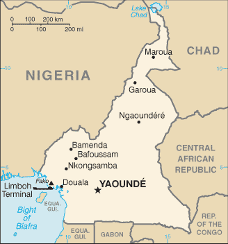
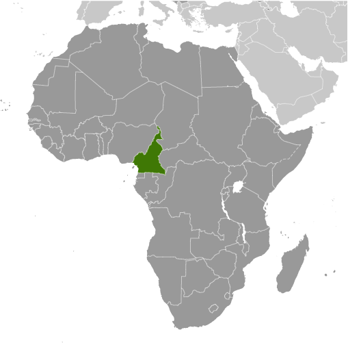
Learning about Cameroon's geography is pivotal because it helps your K-12 students understand how one country can contain nearly every type of African landscape. Cameroon sits in Middle Africa, bordered by Nigeria, Chad, the Central African Republic, the Republic of the Congo, Gabon, and Equatorial Guinea, with a coastline on the Atlantic Ocean. It is often called "Africa in miniature" because it has beaches, deserts, mountains, rainforests, and savannas all within its borders. Mount Cameroon is an active volcano and the highest peak in West Africa.
Studying Cameroon builds key geographic skills. Your students can explore how latitude and elevation create many climate zones, from humid coastal areas to dry northern plains. They can also learn how farming, oil, timber, and cocoa connect Cameroon to global markets. The country's diverse environments support wildlife like gorillas, elephants, and chimpanzees, making it important for conservation.
The country's cultural geography is equally rich, with over 250 ethnic groups and languages, including French and English as official languages. This mix sometimes creates tension, as seen in ongoing conflicts in English-speaking regions. For your young pupils, Cameroon is memorable because of its volcanoes, rainforests, and incredible diversity. Studying it builds map skills, cultural awareness, and understanding of how geography shapes a nation's identity and challenges.
|