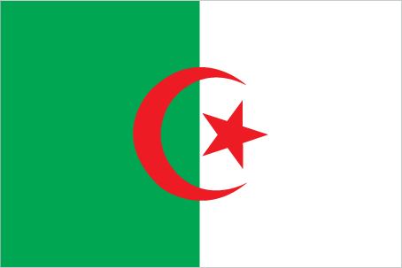
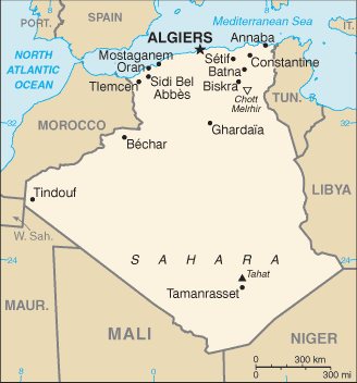
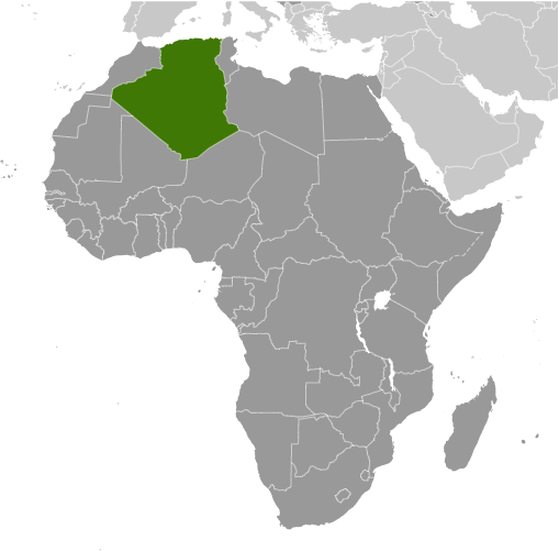
Learning about Algeria's geography is important because it assists your K-12 students to understand how Africa's largest country is shaped by the Sahara Desert. Algeria sits in northern Africa, bordered by Tunisia, Libya, Niger, Mali, Mauritania, Western Sahara, and Morocco, with a long coastline on the Mediterranean Sea. More than four-fifths of the country is covered by the Sahara, so most people live in the narrow coastal strip in the north, where the climate is milder. The Atlas Mountains run along the coast, and the Ahaggar Mountains rise in the far south.
Studying Algeria builds key geographic skills. Your pupils can explore how desert and coastal environments shape where people live and how they make a living. They can also learn how Algeria's oil and natural gas reserves connect it to global energy markets, making it a key player in world economics. The Sahara also holds ancient rock art, showing how people lived there when the climate was wetter.
The country's cultural geography is rich, blending Arab, Berber, and French influences. Arabic and Tamazight are official languages. For young learners, Algeria is memorable because of the Sahara, its Mediterranean coast, and its role in African and Arab history. Studying it builds map skills, cultural awareness, and understanding of how geography shapes a nation's economy and identity.
|