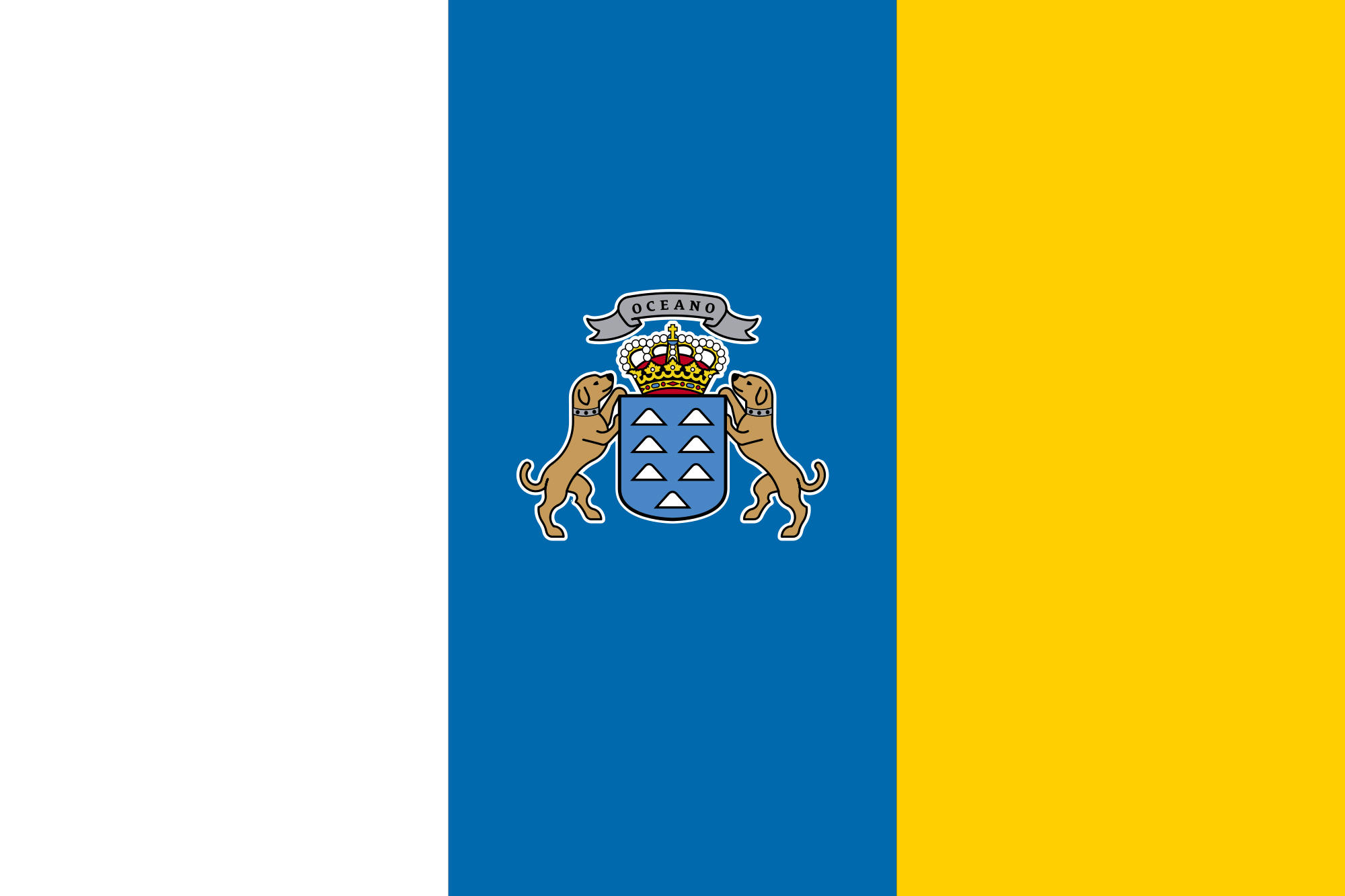
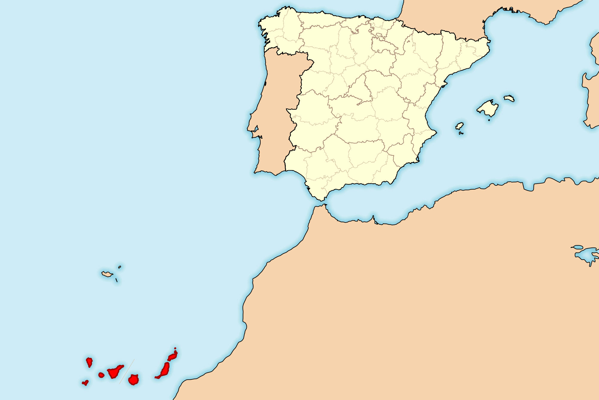
Learning about the Canary Islands' geography is important because it helps your K-12 students understand how volcanic islands can be both part of Europe and located off the coast of Africa. The Canary Islands are a Spanish archipelago in the Atlantic Ocean, about 60 miles west of Morocco. There are seven main islands, including Tenerife, Gran Canaria, and Lanzarote. They were formed by volcanic activity, and Mount Teide on Tenerife is the highest peak in Spain. The islands have a mild climate year-round, which makes them a popular tourist destination.
Studying the Canary Islands builds key geographic skills. Your eager pupils can explore how volcanic origins created dramatic landscapes, including black-sand beaches, craters, and lava fields. They can also learn how ocean currents and trade winds affect the climate, and why the islands are sometimes called the "Fortunate Isles." Tourism, bananas, and fishing are important to the economy, connecting the islands to global markets. The islands also serve as a stopover for migrants traveling from Africa to Europe, linking geography to migration issues.
The cultural geography blends Spanish and African influences, with unique music, food, and festivals. For the younger learners, the Canary Islands are memorable because of their volcanoes, beaches, and wildlife. Studying them builds map skills, cultural awareness, and understanding of how geography shapes island life.
|