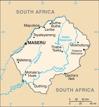
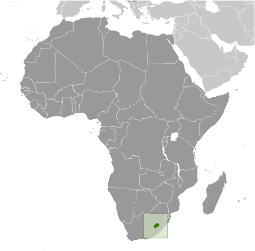
Learning about Lesotho's geography is greatly beneficial because it helps your K-12 students understand how a small, landlocked country can be defined by its mountains. Lesotho sits in southern Africa, completely surrounded by South Africa. It is one of only three countries in the world entirely enclosed by another nation. The country is known as the "Kingdom in the Sky" because its entire territory lies above 1,000 meters in elevation, with the Drakensberg and Maloti mountains covering much of the land. The highest point, Thabana Ntlenyana, reaches over 3,400 meters.
Studying Lesotho builds key geographic skills. Students can explore how high altitude creates cold winters and cool summers, which is unusual for Africa. They can also learn how the country's mountains trap water, earning it the nickname "water tower of southern Africa." Lesotho exports water and hydroelectric power to South Africa through massive dam projects like Katse Dam. This shows how geography can turn a resource into economic power.
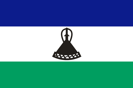
The country's cultural geography is rich, with the Basotho people known for their woven blankets and distinctive conical hats. For young learners, Lesotho is memorable because of its mountain scenery, skiing, and ponies. Studying it builds map skills, cultural awareness, and understanding of how geography shapes a small nation's identity and economy.
|