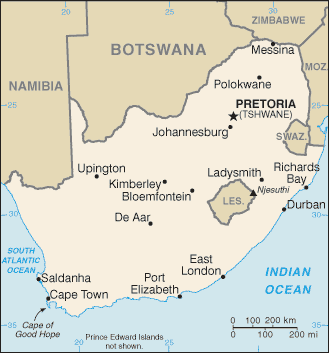
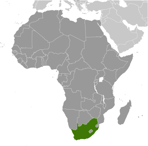
Learning about South Africa's geography is important because it helps your K-12 students understand how a country's landscape can shape its history, economy, and culture. South Africa sits at the southern tip of the continent, bordered by Namibia, Botswana, Zimbabwe, Mozambique, and Eswatini, with coastlines on both the Atlantic and Indian Oceans. This unique position gives it a wide range of climates, from Mediterranean in the southwest to subtropical in the east and arid in the northwest. The country is famous for its dramatic landscapes, including Table Mountain, the Drakensberg Mountains, and the Kalahari Desert.
Studying South Africa builds key geographic skills. Your eager pupils can explore how rich mineral deposits, especially gold, diamonds, and platinum, made it one of Africa's largest economies. They can also learn how the Cape of Good Hope became a vital shipping route between Europe and Asia, connecting geography to global trade. The country's diverse environment supports wildlife like lions, elephants, and penguins.
South Africa's cultural geography is deeply significant. It is home to many ethnic groups and eleven official languages, and it became a democracy in 1994 after the end of apartheid. For your younger tutees, South Africa is memorable because of its wildlife, music, and history. Studying it builds map skills, cultural awareness, and understanding of how geography shapes a nation's identity.
|