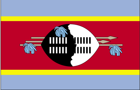
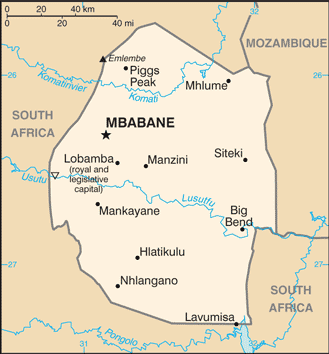
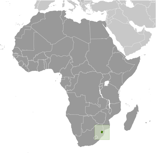
Learning about Eswatini's geography is important because it helps your K-12 students understand how a small landlocked country can hold surprising variety. Eswatini, formerly known as Swaziland, sits in southern Africa, bordered by South Africa on three sides and Mozambique to the east. It has no coastline, so trade depends on its neighbors. Despite its small size, the country has four distinct regions: the Highveld mountains in the west, the Middleveld, the Lowveld, and the Lubombo Plateau in the east. This range of elevations creates different climates and farming conditions.
Studying Eswatini builds key geographic skills. Your pupils can explore how altitude affects temperature and rainfall, and why sugarcane, maize, and pineapples grow well in the Lowveld. They can also learn how mining and manufacturing connect the country to global markets. Eswatini is one of the last absolute monarchies in the world, so students can examine how geography and government intersect.
The country's cultural geography is rich, with the Swazi people known for traditions like the Umhlanga reed dance and the Incwala ceremony. For your wee learners, Eswatini is memorable because of its mountains, wildlife parks, and vibrant culture. Studying it builds map skills, cultural awareness, and understanding of how geography shapes a small nation's identity.
|