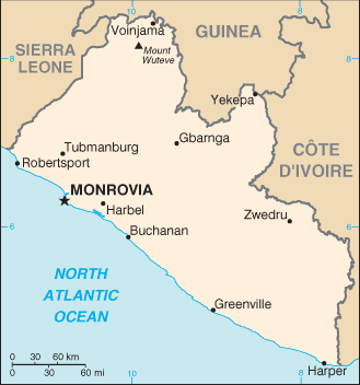
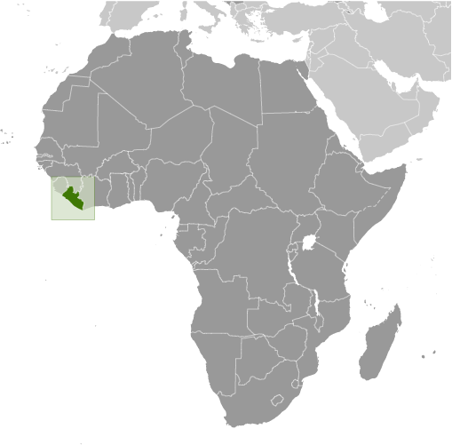
Learning about Liberia's geography is important because it helps K-12 your students understand a small West African nation with a unique and dramatic history. Liberia sits on the Atlantic coast, bordered by Sierra Leone, Guinea, and Côte d'Ivoire. Its landscape includes mangrove swamps and sandy beaches along the coast, rolling hills and rainforests inland, and mountains in the north. The country was founded in the 1820s by freed African Americans, which makes it unlike almost any other African nation. Its capital, Monrovia, is named after U.S. President James Monroe.
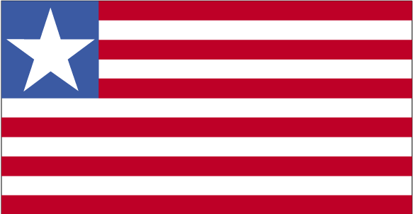
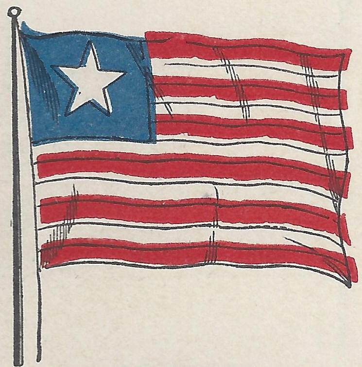
Studying Liberia builds key geographic skills. Your students can explore how heavy rainfall and tropical climate support rubber, cocoa, and rice farming. They can also learn how iron ore and timber connect Liberia to global markets, and how civil wars in the 1990s and early 2000s affected the country's development. Liberia's flag and government structure reflect its ties to the United States, showing how geography and history can intersect in surprising ways.
Liberia's cultural geography is rich, with over a dozen ethnic groups, including the Kpelle and Bassa. For your younger learners, Liberia is memorable because of its founding story, rainforests, and resilient people. Studying it builds map skills, cultural awareness, and understanding of how geography shapes a nation's identity and challenges.
|