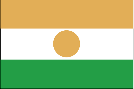
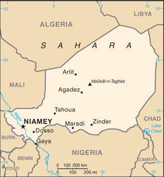
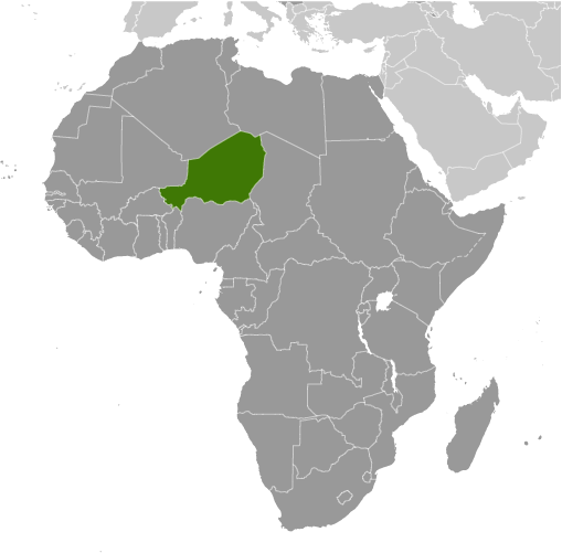
Learning about Niger's geography is important because it helps your K-12 students understand how a landlocked, desert nation shapes its own future. Niger sits in West Africa, bordered by Algeria, Libya, Chad, Nigeria, Benin, Burkina Faso, and Mali. It has no coastline, so trade depends on roads and neighbors. Most of the country lies in the Sahara Desert and the Sahel, a dry belt just south of it. The northern region is sandy and almost empty, while the south holds the Niger River, the country's lifeline. Farming, herding, and fishing along the river support most of the population.
Studying Niger builds key geographic skills. Your eager students can examine how rainfall and drought affect crops and livestock, and why people concentrate in the narrow fertile strip near the river. They can also learn about uranium mining, a major export that connects Niger to global energy markets, and about the challenges of desertification and climate change.
Niger's cultural geography is rich too. It is home to Hausa, Zarma, Tuareg, Fulani, and other groups with distinct languages and traditions. For young learners, Niger is memorable because of its dramatic desert landscapes, the legendary city of Agadez, and its resilient people. Studying it builds map skills, cultural awareness, and understanding of how geography shapes life in the Sahel.
|