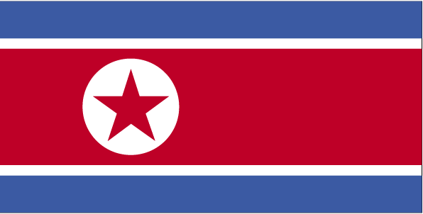
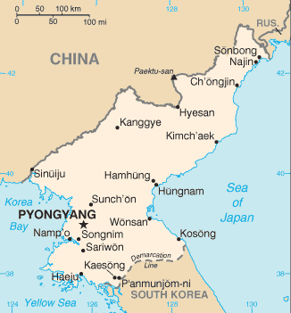
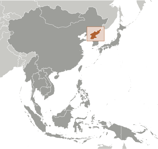
Learning about North Korea's geography is helpful because it shows K-12 students how mountains, climate, and borders shape a country's daily life and its relationships with the world. North Korea sits on the northern half of the Korean Peninsula in East Asia, bordered by China and Russia to the north and South Korea to the south, with coastlines on the Yellow Sea and the Sea of Japan. Mountains and hills cover most of the land, leaving only narrow valleys and coastal plains for farming. The climate is colder than the south, with harsh winters that limit growing seasons.
Studying North Korea builds key geographic skills. Students can explore how rugged terrain and limited farmland affect where people live and what they can grow. They can also learn how the country's location between China, Russia, and South Korea shapes its trade and politics. North Korea is rich in minerals like coal, iron, and rare earths, connecting geography to economics and global tensions.
For young learners, North Korea is memorable because it is one of the most closed-off countries in the world. Studying it builds map skills, cultural awareness, and understanding of how geography shapes a nation's isolation and challenges.
|