


| India Gallery: Maps and Pictures |
|---|
| www.studenthandouts.com ↣ Geography ↣ Asia ↣ South-central Asia ↣ India ↣ India Image Gallery |
 | 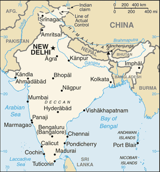 |  | 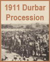 | 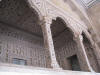 | ||||||
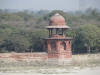
| Flag of India | Political Map of India | Global Position Map of India | Indian Princes in the Durbar Procession, 1911 | Design Work at Agra Fort |
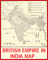 |  | 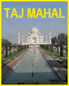 | 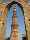 | 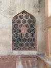 | ||||||
| Map of the British Empire in India | Grounds of the Taj Mahal | Taj Mahal | Qutab MInar Tower | Window at Agra Fort |
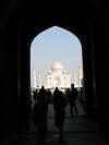 | 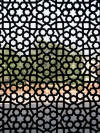 | 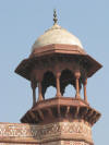 |  | 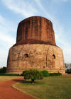 | ||||||
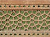
| Taj Mahal Gateway Entrance | Latticework at Humayun | Taj Mahal Minaret | Carved Pillar | Buddha's First Sermon After Enlightenment |
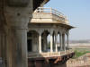 |  | 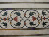 | 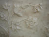 |  | ||||||
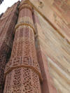
| An Indian Pillared Porch at Agra Fort | Road from Delhi to Agra | Floral Pattern at the Taj Mahal | Floral Relief at the Taj Mahal | Jahangiri |
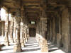 | 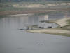 | 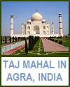 | 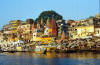 |  | ||||||
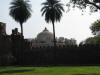
| Pillars Quwwat ul Islam Mosque | Yamuna River | Taj Mahal in Agra, India | Varabasi | Tomb Complex |
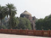 |  |  | ||||||||
| Nizamuddin | Humayun Tomb | Flag ca. 1900 |
| www.studenthandouts.com ↣ Geography ↣ Asia ↣ South-central Asia ↣ India ↣ India Image Gallery |


