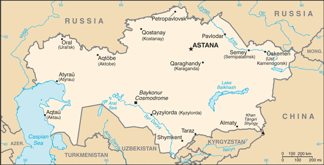
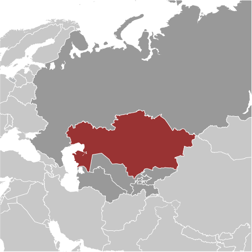
Learning about Kazakhstan's geography is helpful because it shows K-12 students how a vast, landlocked country can be defined by steppes, deserts, and valuable resources. Kazakhstan sits in Central Asia, bordered by Russia, China, Kyrgyzstan, Uzbekistan, and Turkmenistan, with a coastline on the Caspian Sea. It is the world's largest landlocked country. Most of the land is flat steppe and desert, which supports herding and farming. The country's southern border touches the Tian Shan mountains, home to the country's highest peak, Khan Tengri.
Studying Kazakhstan builds key geographic skills. Students can explore how a continental climate creates hot summers and freezing winters, and how that shapes where people live. They can also learn how oil, natural gas, uranium, and wheat connect Kazakhstan to global markets. The Baikonur Cosmodrome, the world's first and largest space launch site, sits in the Kazakh steppe, showing how geography links to science and history. The Aral Sea, once one of the world's largest lakes, has shrunk dramatically, offering a powerful lesson in how human water use can change environments.
The country's cultural geography is rich, with Kazakh and Russian spoken widely, and traditions like eagle hunting and yurts still practiced. For young learners, Kazakhstan is memorable because of its steppes, space launches, and nomadic heritage. Studying it builds map skills, cultural awareness, and understanding of how geography shapes a nation's economy and identity.
|