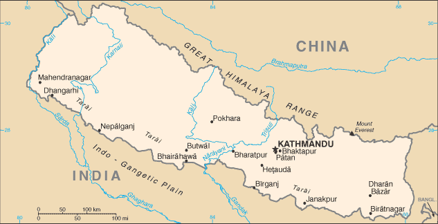
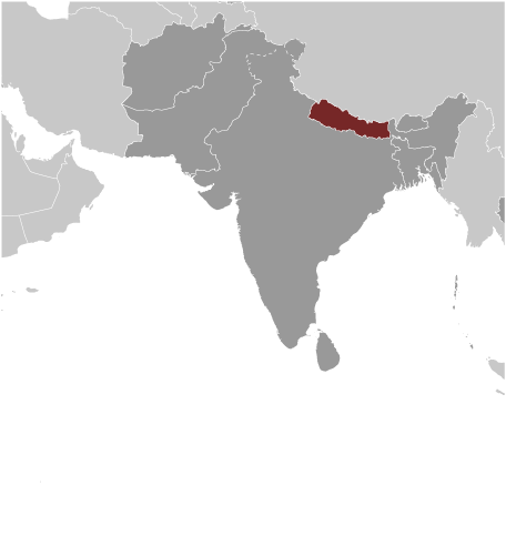
Learning about Nepal's geography is helpful because it shows K-12 students how mountains can shape a country's culture, climate, and daily life. Nepal sits in South Asia, landlocked between India and China, and is home to eight of the world's ten highest peaks, including Mount Everest, the tallest mountain on Earth. The country rises from hot, humid plains in the south called the Terai, through rolling hills, to the frozen Himalayas in the north. This extreme range of elevation creates many different climates and ways of life within a small area.
Studying Nepal builds key geographic skills. Students can explore how altitude affects temperature and rainfall, and how snowmelt from glaciers feeds rivers that provide water for millions of people. They can also learn how earthquakes shake the region because it sits where tectonic plates collide. Tourism, especially trekking and mountaineering, connects Nepal to the global economy, while farming supports most families.
The country's cultural geography is rich, with Hindu and Buddhist traditions, ancient temples, and festivals like Dashain. For young learners, Nepal is memorable because of Everest, yaks, and prayer flags. Studying it builds map skills, cultural awareness, and understanding of how geography shapes a nation's identity and challenges.
|