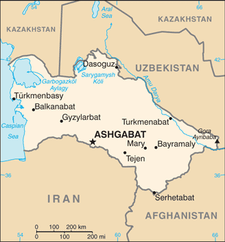
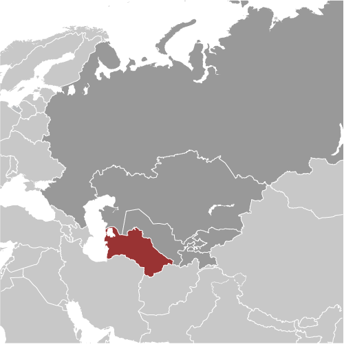
Learning about Turkmenistan's geography is helpful because it shows K-12 students how a desert country can use its resources to shape its economy and identity. Turkmenistan sits in Central Asia, bordered by Kazakhstan, Uzbekistan, Afghanistan, and Iran, with a coastline on the Caspian Sea. Most of the country is covered by the Karakum Desert, which means "black sand." The climate is hot and dry, with very little rainfall. Despite this, Turkmenistan has rich oil and natural gas reserves, making it a major energy producer.
Studying Turkmenistan builds key geographic skills. Students can explore how desert climate limits farming and settlement, and how people rely on irrigation from rivers like the Amu Darya. They can also learn how the country's gas fields connect it to global energy markets. The Darvaza gas crater, often called the "Gates of Hell," is a striking example of how resource extraction can create unusual landscapes.
The country's cultural geography is rich, with Turkmen traditions like carpet weaving, horseback riding, and the Akhal-Teke horse breed. For young learners, Turkmenistan is memorable because of its deserts, gas craters, and nomadic heritage. Studying it builds map skills, cultural awareness, and understanding of how geography shapes a nation's economy and identity in Central Asia.
|