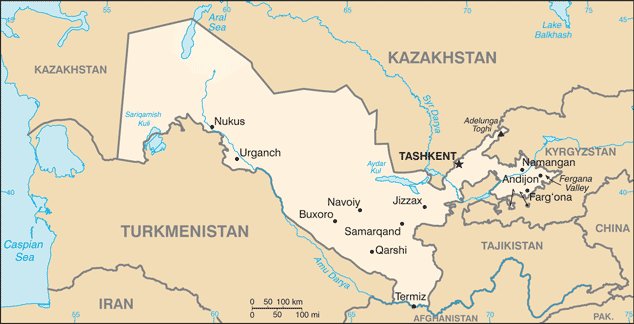
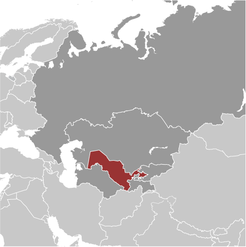
Learning about Uzbekistan's geography is helpful because it shows K-12 students how a landlocked country can thrive as a crossroads of trade and culture. Uzbekistan sits in Central Asia, bordered by Kazakhstan, Kyrgyzstan, Tajikistan, Turkmenistan, and Afghanistan. It has no coastline, but it does border the Aral Sea, which has shrunk dramatically because of water diversion. Most of the country is desert, including the Kyzylkum, but rivers like the Amu Darya and Syr Darya support farming in oases.
Studying Uzbekistan builds key geographic skills. Students can explore how irrigation from rivers allows cotton and fruit farming in a dry region. They can also learn how the country's location made it a key stop on the Silk Road, connecting Europe and Asia for centuries. Cities like Samarkand and Bukhara became famous centers of learning and trade, leaving stunning architecture that still stands today.
The country's cultural geography is rich, with Uzbek traditions, music, and crafts like ceramics and silk weaving. The Aral Sea's decline offers a powerful lesson in how human water use can harm environments. For young learners, Uzbekistan is memorable because of the Silk Road, desert oases, and blue-tiled mosques. Studying it builds map skills, cultural awareness, and understanding of how geography shapes a nation's history and challenges.
|