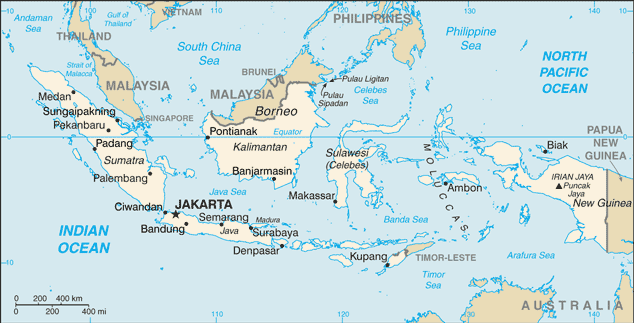
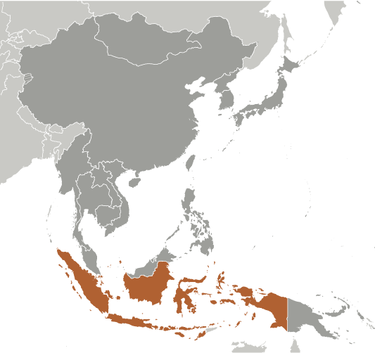
Learning about Indonesia's geography is beneficial because it shows K-12 students how the world's largest archipelago connects oceans, cultures, and wildlife. Indonesia sits in Southeast Asia between the Indian and Pacific Oceans, made up of over 17,000 islands, including Java, Sumatra, Borneo, Sulawesi, and New Guinea. It has more than 100 active volcanoes because it lies on the Ring of Fire, where tectonic plates meet. The climate is tropical, with rainforests, monsoon rains, and rich coral reefs.
Studying Indonesia builds key geographic skills. Students can explore how volcanic soil supports farming of rice, coffee, and palm oil. They can also learn how the country's location shapes trade, since key sea routes like the Strait of Malacca pass through it. Indonesia is rich in biodiversity, home to orangutans, Komodo dragons, and thousands of plant species.
The country's cultural geography is incredibly diverse, with over 300 ethnic groups and hundreds of languages. For young learners, Indonesia is memorable because of its volcanoes, beaches, and traditional arts like batik and wayang puppetry. Studying it builds map skills, cultural awareness, and understanding of how geography shapes a nation's identity and environment.
|