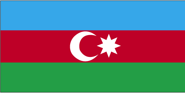
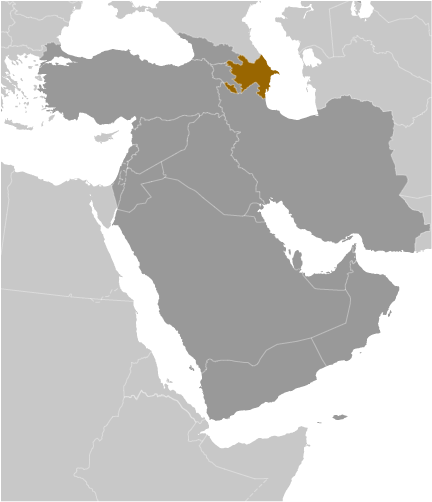
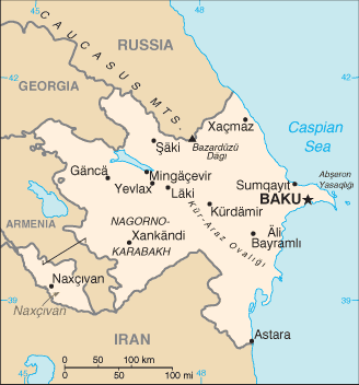
Teaching about Azerbaijan is beneficial because it shows K-12 students how a country at the crossroads of Europe and Asia uses its location and resources to build influence. Azerbaijan sits in the South Caucasus, bordered by Russia, Georgia, Armenia, Turkey, and Iran, with a coastline on the Caspian Sea. It has no ocean access, but the Caspian connects it to trade routes. The country's landscape includes the Greater Caucasus mountains in the north, fertile lowlands, and the Kura River valley. The Absheron Peninsula, where the capital Baku sits, is famous for natural oil seeps and mud volcanoes.
Studying Azerbaijan builds key geographic skills. Students can explore how oil and natural gas shaped its economy and how pipelines carry energy to Europe, connecting geography to global markets. They can also learn how the Caspian Sea's shrinking water levels raise environmental concerns. Azerbaijan's varied climate supports farming of tea, grapes, and cotton.
The country's cultural geography is rich, blending Turkic, Persian, and Soviet influences, with traditions in music, carpets, and cuisine. For young learners, Azerbaijan is memorable because of its mud volcanoes, ancient fire temples, and vibrant capital. Studying it builds map skills, cultural awareness, and understanding of how geography shapes a nation's economy and identity between continents.
|