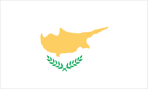
Teaching about Cyprus is beneficial because it shows K-12 students how an island at the crossroads of three continents can be shaped by geography, culture, and conflict. Cyprus sits in the eastern Mediterranean Sea, south of Turkey and west of Syria and Lebanon. It is the third-largest island in the Mediterranean. The island has a Mediterranean climate with hot, dry summers and mild, wet winters. Mountains run across the north and southwest, and the central plain, called the Mesaoria, supports farming.
Studying Cyprus builds key geographic skills. Students can explore how the island's location made it a trading hub for Greeks, Romans, Byzantines, and Ottomans. They can also learn how the island's geography affects farming of citrus, olives, and grapes, and how tourism draws millions to its beaches. Cyprus has few natural resources, so its economy depends on services and shipping.
The country's cultural geography is rich, blending Greek and Turkish traditions. Since 1974, the island has been divided between the Republic of Cyprus and a northern area recognized only by Turkey, making it a powerful case study in how geography connects to politics and identity. For young learners, Cyprus is memorable because of its beaches, mountains, and divided capital, Nicosia. Studying it builds map skills, cultural awareness, and understanding of how geography shapes a nation's history.
|