Your K-12 students should learn about the geography of Lebanon because it offers a compact yet powerful case study of how physical features shape culture, economy, and conflict.
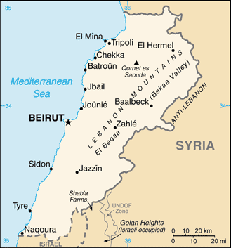
Despite its small size, Lebanon contains coastal plains, the Mount Lebanon range, the Bekaa Valley, and the Anti-Lebanon Mountains, creating striking climatic and agricultural diversity.
These landscapes influenced ancient Phoenician trade, religious communities, and modern settlement patterns.
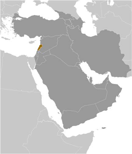
Lebanon's location at the crossroads of the Mediterranean and Middle East explains its role in commerce, migration, and regional politics.
Your students in K-12 can examine water scarcity, urbanization in Beirut, and the strategic importance of the Litani River.
Studying Lebanon also connects geography to contemporary issues like sectarianism, refugees, and environmental pressures.
This small country teaches students that location and terrain profoundly influence a nation's history, identity, and global significance.
|