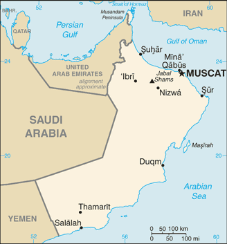
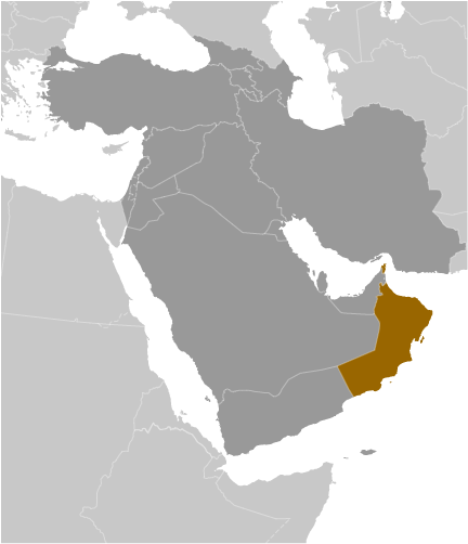
Teaching about Oman is beneficial because it shows K-12 students how a country with deserts, mountains, and a long coastline can use its location to connect continents. Oman sits on the southeastern coast of the Arabian Peninsula in the Middle East, bordered by Saudi Arabia, the United Arab Emirates, and Yemen. It has a long coastline on the Arabian Sea and the Gulf of Oman. The country's landscape includes the Rub' al Khali desert, the Hajar Mountains, and fertile coastal plains called the Batinah.
Studying Oman builds key geographic skills. Students can explore how desert climate limits farming and how the country uses irrigation channels called falaj to grow dates, limes, and bananas. They can also learn how Oman's location makes it a gateway for trade between the Arabian Peninsula, Africa, and Asia. Oil and natural gas are major exports, but Oman has also invested in tourism, fishing, and shipping.
The country's cultural geography is rich, with Arab and Islamic traditions, ancient forts, and a history of seafaring. For young learners, Oman is memorable because of its deserts, mountains, and frankincense trade. Studying it builds map skills, cultural awareness, and understanding of how geography shapes a nation's economy and identity in the Middle East.
|