 Teaching about the United Arab Emirates is beneficial because it shows K-12 students how a small desert country transformed itself into a global hub in just a few decades. The U.A.E. sits on the Arabian Peninsula in the Middle East, bordered by Saudi Arabia and Oman, with coastlines on the Persian Gulf and the Gulf of Oman. Most of the country is sandy desert, with very hot summers and scarce rainfall. Despite these harsh conditions, the U.A.E. holds some of the world's largest oil and natural gas reserves, which have made it extremely wealthy.
Studying the U.A.E. builds key geographic skills. Students can explore how desert climate limits farming and how the country relies on desalination for fresh water. They can also learn how oil wealth funded the growth of cities like Dubai and Abu Dhabi, with skyscrapers, ports, and tourist attractions. The U.A.E.'s location on the Gulf makes it a key center for trade and shipping between Asia, Africa, and Europe.
The country's cultural geography blends Arab and Islamic traditions with a huge population of foreign workers from many countries. For young learners, the U.A.E. is memorable because of the Burj Khalifa, desert safaris, and its rapid modernization. Studying it builds map skills, cultural awareness, and understanding of how geography shapes a nation's economy and global role.
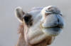 A camel of Abu Dhabi. The peoples of the U.A.E. were once primarily Bedouin tribes who depended upon camels for desert transportation of people and goods. The camel is still an important part of Arabic culture.
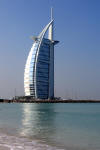
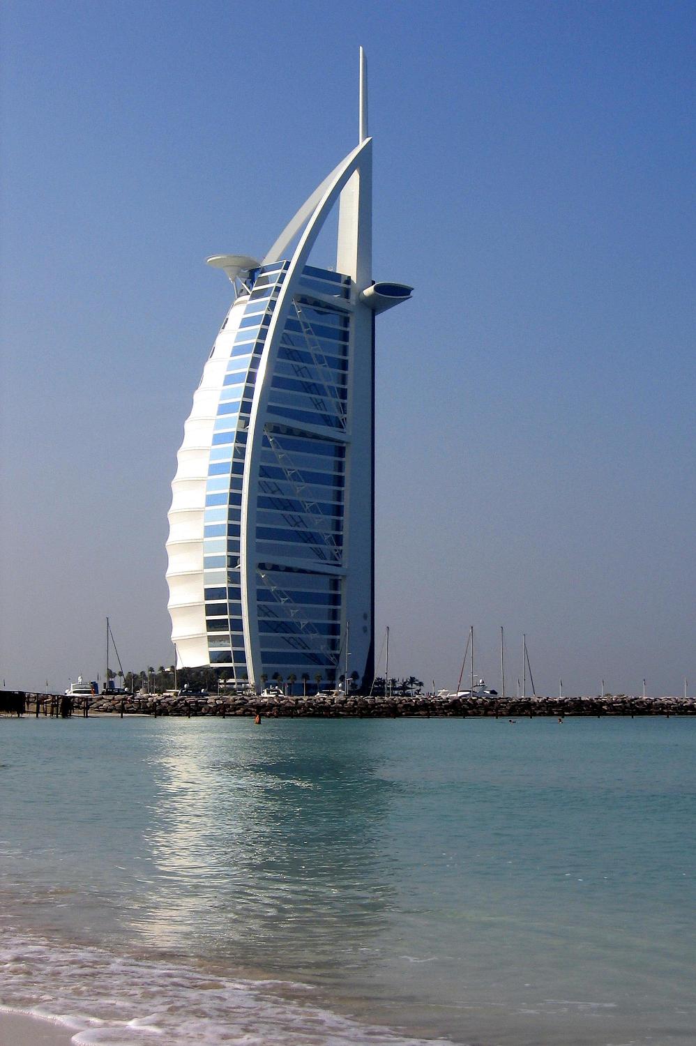
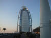 View along the causeway leading to the Burj-al-Arab Hotel in Dubai, United Arab Emirates—reputed to be the world's tallest. The oil boom created much wealth in the Arab world.
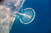 Palm Jumeirah as seen from space. The artificial peninsula and islands that make up Palm Jumeirah in Dubai as seen from the International Space Station. This massive earthwork is reclaimed from Dubai's Persian Gulf coast. Advertised as "being visible from the Moon," the palm-shaped structure displays 17 huge fronds framed by an 11-km (7 mi) protective barrier. It is the first of three residential and commercial palm-shaped projects being undertaken in Dubai. Image courtesy of NASA (National Aeronautics and Space Administration).
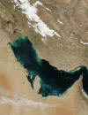 Persian Gulf from Space. Much of the sediment clouding the water in this image of the Persian Gulf is from the Shatt al Arab River, which enters the Gulf in the north along the Iran-Iraq border. The river drains the combined waters of the Euphrates and Tigris Rivers of Iraq, and the Karun River of Iran. Though other rivers empty into the Persian Gulf, most of its fresh water comes from the Shatt al Arab. On the right edge of the image is the narrow Strait of Hormuz, which connects the Persian Gulf to the Arabian Sea, part of the northern Indian Ocean.
The Persian Gulf is flanked to the west by wedge-shaped Kuwait and by Saudi Arabia with its vast tan-, pink-, and white-sand deserts; to the south by Qatar, the United Arab Emirates, and Oman; and to the east by the dry mountains of Iran. The wetlands and rivers of Mesopotamia border the Gulf on the north. The red dots mark gas flares in oil fields of Iran and Iraq. Image courtesy of NASA (National Aeronautics and Space Administration of the United States).
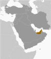 Global position map of the United Arab Emirates (U.A.E.). The U.A.E. is located along the coast of the Persian Gulf. The Trucial States of the Persian Gulf coast granted the U.K. control of their defense and foreign affairs in 19th century treaties. In 1971, six of these states—Abu Zaby, 'Ajman, Al Fujayrah, Ash Shariqah, Dubayy, and Umm al Qaywayn—merged to form the United Arab Emirates (U.A.E.). They were joined in 1972 by Ra's al Khaymah.
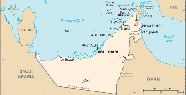 Political map of the United Arab Emirates (U.A.E.), with its capital city of Abu Dhabi. The U.A.E. is bordered by Saudi Arabia, Oman, the Persian Gulf, and the Gulf of Oman. The U.A.E.'s per capita GDP is on par with those of leading West European nations. Its generosity with oil revenues and its moderate foreign policy stance have allowed the U.A.E. to play a vital role in the affairs of the region. For more than three decades, oil and global finance drove the U.A.E.'s economy, however, in 2008-09, the confluence of falling oil prices, collapsing real estate prices, and the international banking crisis hit the U.A.E. especially hard. |



 Teaching about the United Arab Emirates is beneficial because it shows K-12 students how a small desert country transformed itself into a global hub in just a few decades. The U.A.E. sits on the Arabian Peninsula in the Middle East, bordered by Saudi Arabia and Oman, with coastlines on the Persian Gulf and the Gulf of Oman. Most of the country is sandy desert, with very hot summers and scarce rainfall. Despite these harsh conditions, the U.A.E. holds some of the world's largest oil and natural gas reserves, which have made it extremely wealthy.
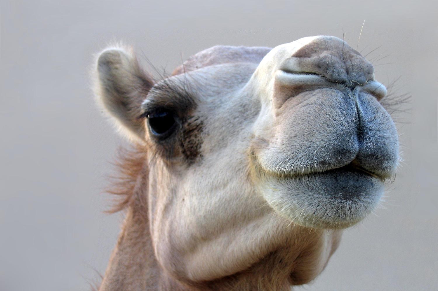 A camel of Abu Dhabi. The peoples of the U.A.E. were once primarily Bedouin tribes who depended upon camels for desert transportation of people and goods. The camel is still an important part of Arabic culture.
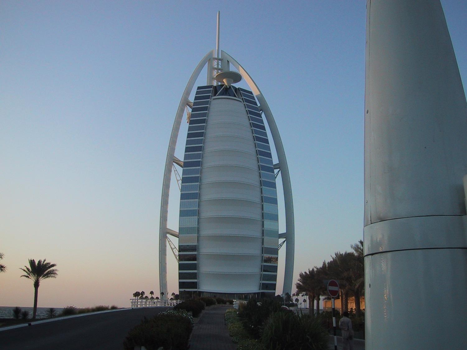 View along the causeway leading to the Burj-al-Arab Hotel in Dubai, United Arab Emirates—reputed to be the world's tallest. The oil boom created much wealth in the Arab world.
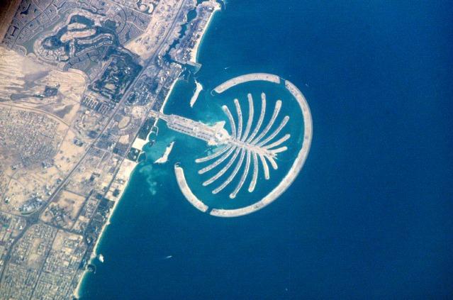 Palm Jumeirah as seen from space. The artificial peninsula and islands that make up Palm Jumeirah in Dubai as seen from the International Space Station. This massive earthwork is reclaimed from Dubai's Persian Gulf coast. Advertised as "being visible from the Moon," the palm-shaped structure displays 17 huge fronds framed by an 11-km (7 mi) protective barrier. It is the first of three residential and commercial palm-shaped projects being undertaken in Dubai. Image courtesy of NASA (National Aeronautics and Space Administration).
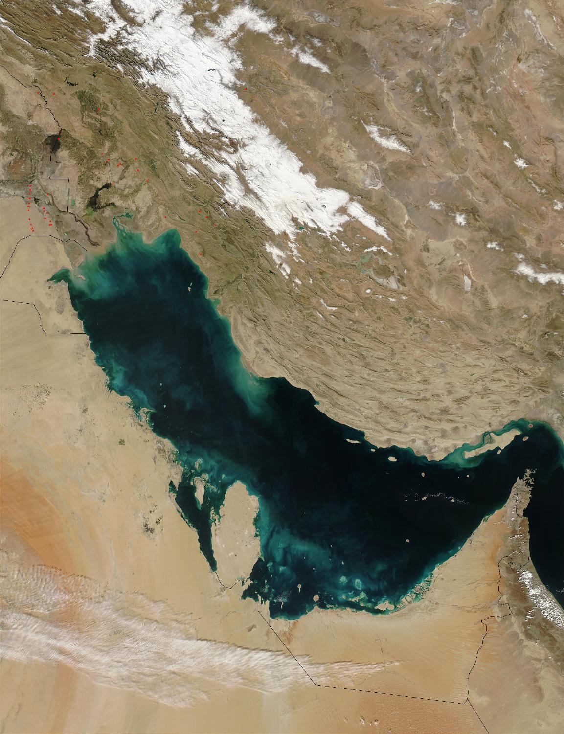 Persian Gulf from Space. Much of the sediment clouding the water in this image of the Persian Gulf is from the Shatt al Arab River, which enters the Gulf in the north along the Iran-Iraq border. The river drains the combined waters of the Euphrates and Tigris Rivers of Iraq, and the Karun River of Iran. Though other rivers empty into the Persian Gulf, most of its fresh water comes from the Shatt al Arab. On the right edge of the image is the narrow Strait of Hormuz, which connects the Persian Gulf to the Arabian Sea, part of the northern Indian Ocean.
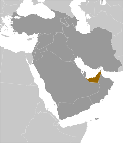 Global position map of the United Arab Emirates (U.A.E.). The U.A.E. is located along the coast of the Persian Gulf. The Trucial States of the Persian Gulf coast granted the U.K. control of their defense and foreign affairs in 19th century treaties. In 1971, six of these states—Abu Zaby, 'Ajman, Al Fujayrah, Ash Shariqah, Dubayy, and Umm al Qaywayn—merged to form the United Arab Emirates (U.A.E.). They were joined in 1972 by Ra's al Khaymah.