


| European Union Geography Educational Resources |
|---|
| www.studenthandouts.com ↣ Geography ↣ Europe ↣ European Union Geography Educational Resources |
Teaching about the European Union in a World Geography class is beneficial because it helps K-12 students understand how geography, economics, and politics connect across an entire continent. Students can explore how the EU grew from a small group of six countries into a union of twenty-seven members, and how its geography stretches from the Mediterranean to the Arctic. They can learn how member nations share a single market, use a common currency called the euro, and cooperate on farming, fishing, transportation, and environmental protection.
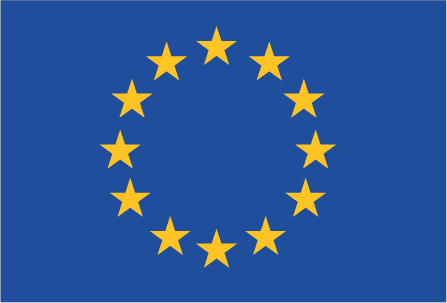 The EU also offers powerful lessons in how geography shapes cooperation. Students can examine why countries join, how borders become less important, and how the union helps poorer regions develop. They can also study challenges like Brexit, migration, and climate policy, which connect directly to geographic themes. For young learners, the EU is memorable because it unites many languages and cultures under shared goals. Studying it builds map skills, cultural awareness, and understanding of how geography influences global teamwork.
They can also learn how the EU helps poorer regions and responds to challenges like climate change. For young learners, the EU is memorable because it includes many countries with different languages and cultures united by shared goals. Studying it builds map skills, cultural awareness, and understanding of how geography connects to cooperation and global relationships. The history of the European Union (EU) begins in the aftermath of World War II, as European leaders sought to prevent future conflicts and rebuild war-torn economies through cooperation. The first major step came in 1951 with the formation of the European Coal and Steel Community (ECSC), which united six countries – Belgium, France, Italy, Luxembourg, the Netherlands, and West Germany – in managing their coal and steel industries jointly. This cooperation expanded in 1957 with the signing of the Treaty of Rome, creating the European Economic Community (EEC), aimed at establishing a common market and promoting economic integration. Over the decades, the EEC evolved through treaties and reforms, deepening political and economic ties among its members. The term "European Union" was officially adopted with the Maastricht Treaty in 1993, which introduced new forms of cooperation in areas like foreign policy, security, and justice, as well as the foundation for a single currency – the euro. The euro was launched in 1999 and became physical currency in 2002. The EU has continued to grow, expanding to include 27 member states as of 2020. It now functions as a political and economic union with its own institutions, including the European Parliament, European Commission, and European Court of Justice. The EU promotes peace, democracy, trade, and mobility across its member countries, though it has faced challenges, including Brexit and debates over national sovereignty. |
| www.studenthandouts.com ↣ Geography ↣ Europe ↣ European Union Geography Educational Resources |





