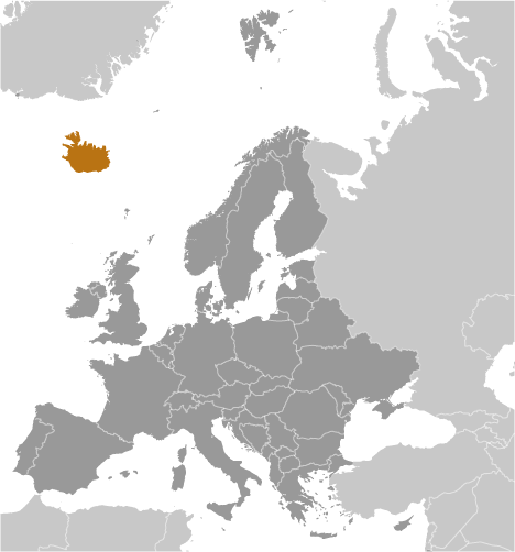
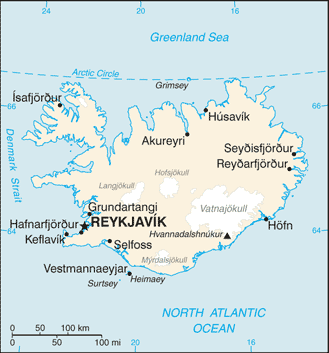
 Teaching about Iceland is beneficial because it shows K-12 students how volcanoes, glaciers, and ocean currents shape a dramatic island nation. Iceland sits in the North Atlantic Ocean, just south of the Arctic Circle, between Europe and North America. It is a volcanic island built by the Mid-Atlantic Ridge, where tectonic plates pull apart. This creates geysers, hot springs, lava fields, and eruptions. About eleven percent of Iceland is covered by glaciers, including Vatnajökull, one of Europe's largest. The Gulf Stream keeps winters milder than expected for its latitude.
Studying Iceland builds key geographic skills. Students can explore how plate tectonics create volcanoes and earthquakes, and how glaciers carve valleys and feed rivers. They can also learn how Iceland uses geothermal and hydropower to heat homes and generate electricity, making it a leader in renewable energy. Fishing remains important, and tourism has grown around natural wonders like the northern lights.
The country's cultural geography is rich, with Norse settlement history, the Icelandic language, and famous sagas. For young learners, Iceland is memorable because of erupting volcanoes, geysers, and puffins. Studying it builds map skills, cultural awareness, and understanding of how geography shapes a nation's economy and identity.
|