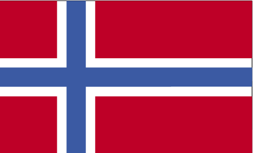
 Teaching about Svalbard is beneficial because it shows K-12 students how one of the world's northernmost inhabited places is shaped by glaciers, wildlife, and international cooperation.
Svalbard is a group of islands in the Arctic Ocean, located between mainland Norway and the North Pole. It belongs to Norway but has a special treaty that lets many countries use it for research and business. More than half the land is covered by glaciers, and mountains rise steeply from the sea. In winter, the sun does not rise for months, while in summer it does not set.
Studying Svalbard builds key geographic skills. Students can explore how latitude creates extreme seasons and how glaciers shape valleys and coastlines. They can also learn how the Gulf Stream keeps waters warmer than expected, supporting seals, whales, and seabirds. Polar bears roam the islands, making conservation important. Svalbard also holds the Global Seed Vault, which stores seeds from around the world to protect food supplies in case of disaster.
The islands' cultural geography is unique, with communities like Longyearbyen built around mining, research, and tourism. For young learners, Svalbard is memorable because of polar bears, the northern lights, and the midnight sun. Studying it builds map skills, environmental awareness, and understanding of how geography shapes science, conservation, and international cooperation in the Arctic.
|