Germany Geography Educational Resources | Student Handouts

Germany Geography Educational Resources
www.studenthandouts.com ↣ Geography ↣ Europe ↣ Western Europe ↣ Germany Geography Educational Resources


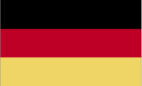
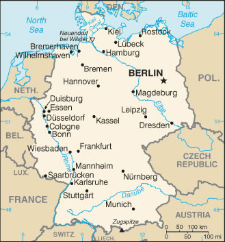
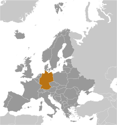
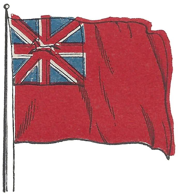
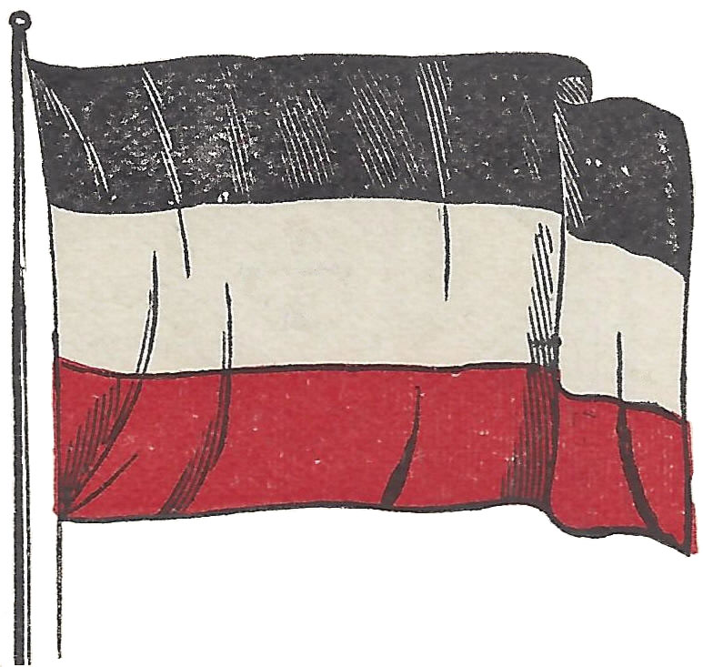
  German Flag  Political Map of Germany  Global Position Map of Germany  Flag of the Hanoverian Kings of Great Britain in Hanover, Germany, circa 1900  German Flag Circa 1900 
  German Flag  Political Map of Germany  Global Position Map of Germany  Flag of the British Monarch in Hanover  German Flag Circa 1900 


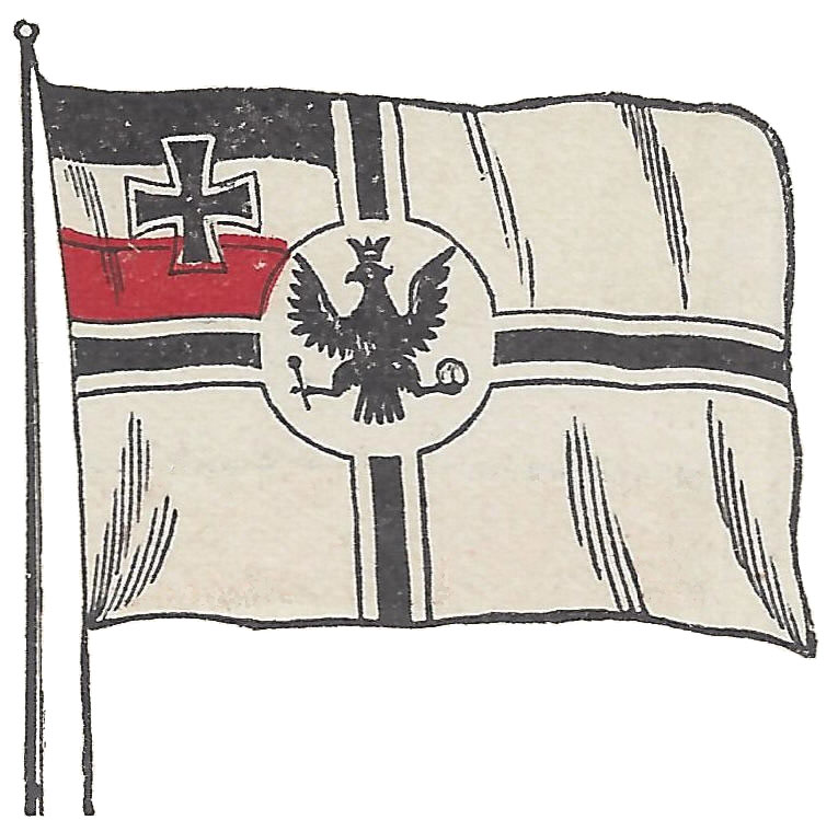
  Flag of a German Merchant Ship, circa 1900  Hanging Railway Between Barmen and Elberfeld, Germany  Map of the states of the German empire.  Prussia, Bavaria, Saxony, Wurttemberg, Baden, Hesse, Mecklenburg-Schwerin, Anhalt, Waldeck, Lippe, Hamburg, Bremen, Lubeck, Brunswick, Saxe-Weimar, Mecklenburg-Strelitz, Saxe-Meiningen, Saxe-Coburg-Gotha, Saxe-Altenburg, Schwarzburg-Rudolstadt, Schwarzburg-Sondershausen, Reuss-Elder Branch, Reuss-Younger Branch, Schaumburg-Lippe, and Oldenburg.  Germany Coloring Book for Kids  Germany Map Worksheet 
  Flag of an Old German Merchant Ship  German Hanging Railway  States of the German Empire  Germany Coloring Book for Kids  Germany Map Worksheet 


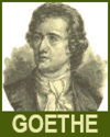
  German Cities in ABC Order Worksheet  Germany Word Search Puzzle  German Reichstag  Johann Wolfgang von Goethe (1749-1832) Educational Resources    
  German Cities in ABC Order Worksheet  Germany Word Search Puzzle  Old German Reichstag  Johann Wolfgang von Goethe    


Printable Germany Handwriting and Spelling Practice Worksheets

Cursive | Print - Printable handwriting practice worksheet for kids featuring "Germany"


Teaching about Germany is highly beneficial because it shows K-12 students how a country at the heart of Europe uses its rivers, plains, and mountains to become an economic and cultural leader. Germany sits in Central Europe, bordered by nine countries, including France, Poland, Austria, and the Netherlands. It has coastlines on the North Sea and Baltic Sea. The country's landscape includes the flat northern plains, the central uplands, and the Bavarian Alps in the south, where the Zugspitze is the highest peak. Major rivers like the Rhine, Danube, and Elbe support trade and transportation.

Studying Germany builds key geographic skills. Students can explore how rivers connect inland cities to seaports, helping Germany become one of the world's top exporters. They can also learn how the Ruhr Valley became an industrial powerhouse because of its coal deposits, and how Germany now leads in renewable energy and engineering. Farming, especially in the south, produces wheat, barley, and grapes for wine.

The country's cultural geography is rich, with medieval castles, the Black Forest, and cities like Berlin, Munich, and Cologne. For young learners, Germany is memorable because of its fairy tales, autobahns, and Christmas markets. Studying it builds map skills, cultural awareness, and understanding of how geography shapes a nation's economy and identity in Europe.


www.studenthandouts.com ↣ Geography ↣ Europe ↣ Western Europe ↣ Germany Geography Educational Resources


Free Printable Brain Teaser and Head Scratcher Worksheets for Kids and AdultsFree Printable Holiday Worksheets


100% Free Handwriting Practice Printables - Print and Cursive