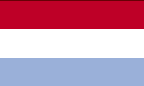
Teaching about Luxembourg is highly beneficial because it shows K-12 students how a small, landlocked country can become a major European crossroads and financial center.
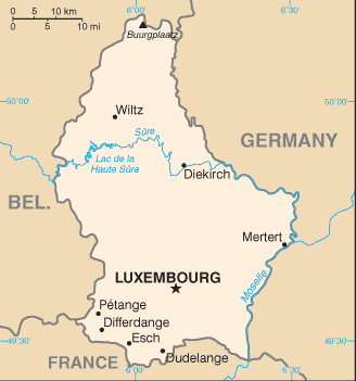
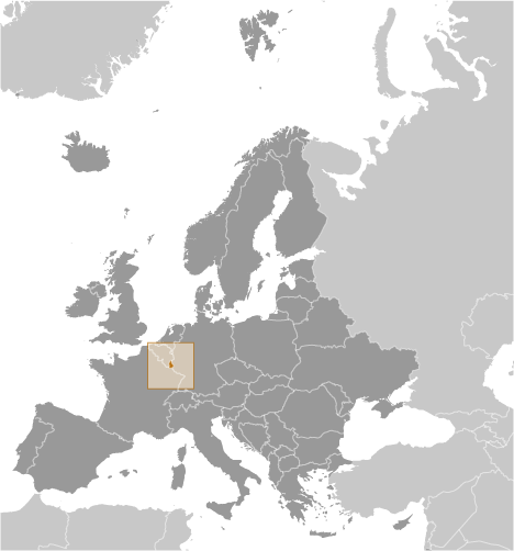
Luxembourg sits in Western Europe, bordered by Belgium, France, and Germany. It has no coastline, so trade depends on rivers and neighbors. The country's landscape has two main regions: the Oesling in the north, part of the Ardennes hills, and the Gutland in the south, with rolling farmland and river valleys. The Moselle River forms part of its eastern border and supports vineyards.
Studying Luxembourg builds key geographic skills. Students can explore how its central location made it a founding member of the European Union and home to several E.U. institutions, including the European Court of Justice. They can also learn how Luxembourg diversified from steel production into banking and finance, becoming one of the world's wealthiest countries per person. Its location helps it serve as a bridge between France, Germany, and Belgium.
The country's cultural geography is rich, with three official languages—Luxembourgish, French, and German—and a mix of traditions. For young learners, Luxembourg is memorable because of its castles, forests, and multilingual culture. Studying it builds map skills, cultural awareness, and understanding of how geography shapes a nation's economy and identity in Europe.
|