
| Switzerland Geography Educational Resources |
|---|
| www.studenthandouts.com ↣ Geography ↣ Europe ↣ Western Europe ↣ Switzerland Geography Educational Resources |
 | 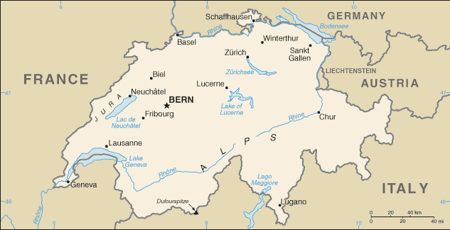 | 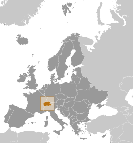 | 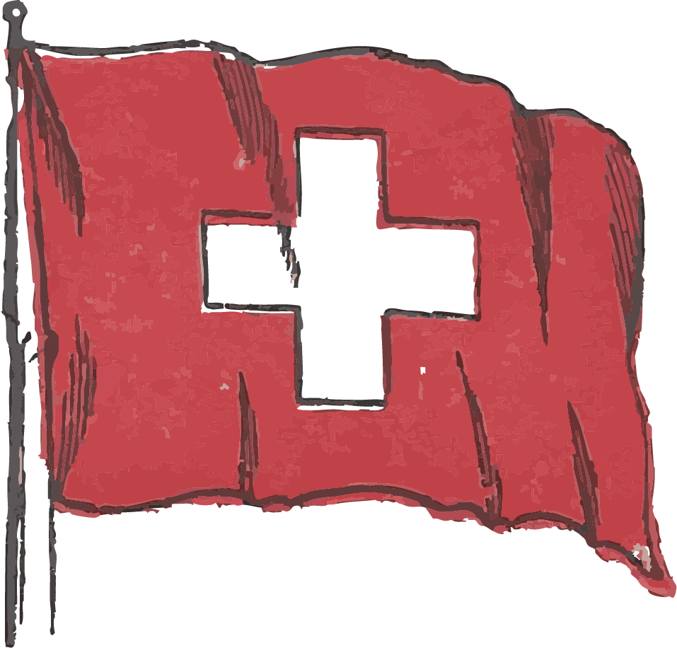 |  | ||||||
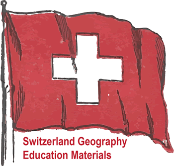
| Swiss Flag | Switzerland Political Map | Switzerland Global Position Map | Waving Flag of Switzerland, circa 1900 | Switzerland Handwriting Practice Worksheets |
 |  |  | ||||||||
| Swiss Cities in ABC Order Worksheet | Switzerland Word Search Puzzle | Switzerland Map Worksheet |
 Switzerland is a small, landlocked country located in Central Europe, bordered by France, Germany, Austria, Italy, and Liechtenstein. Its geography is dominated by the Alps, a major mountain range that covers the southern and central parts of the country. These high mountains include famous peaks such as the Matterhorn and provide natural beauty as well as a barrier to easy travel. The Jura Mountains lie to the northwest, while the Swiss Plateau, between the Alps and Jura, contains the majority of the population and major cities like Zürich, Geneva, and Bern. Switzerland has many rivers and lakes, including the Rhine River and Lake Geneva.  The varied elevation leads to diverse climates, with colder alpine conditions in the mountains and milder weather in lower regions. Swiss geography supports tourism, agriculture, and hydropower, making it both a natural and economic asset. Teaching Switzerland's geography is highly beneficial because it shows students how mountains, lakes, and a central European location shaped a nation known for neutrality, banking, and precision. Students can explore how the Alps cover much of the country, influencing settlement, farming, and tourism. They can learn how rivers like the Rhine begin in Swiss glaciers and how the country's four languages reflect its crossroads position. Switzerland's geography also helps explain its role in global finance and diplomacy. For young learners, Switzerland is memorable because of its mountains, chocolate, and watches. Studying it builds map skills, cultural awareness, and understanding of how terrain shapes economy and identity. |
| www.studenthandouts.com ↣ Geography ↣ Europe ↣ Western Europe ↣ Switzerland Geography Educational Resources |