Geography Educational Image and Map Gallery | Student Handouts

Geography Image Gallery for Educators
www.studenthandouts.com ↣ World Geography Teaching Materials ↣ Geography Image Gallery for Educators


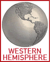
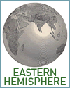
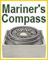
  The Americas: The Western Hemisphere  Eastern Hemisphere: The Old World  People and Places  Mariner's Compass  Northern Hemisphere Map 
  JPG PNG SVG  JPG PNG SVG  JPG PNG SVG  JPG PNG SVG  JPG PNG SVG 
  Western Hemisphere  Eastern Hemisphere  People and Places  Mariner's Compass  Northern Hemisphere 


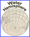
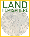
  Southern Hemisphere  World Ridge or Primary Highland Map  Land and Water Hemispheres  Water Hemisphere  Land Hemisphere 
  JPG PNG SVG  JPG PNG SVG  JPG PNG SVG  JPG PNG SVG  JPG PNG SVG 
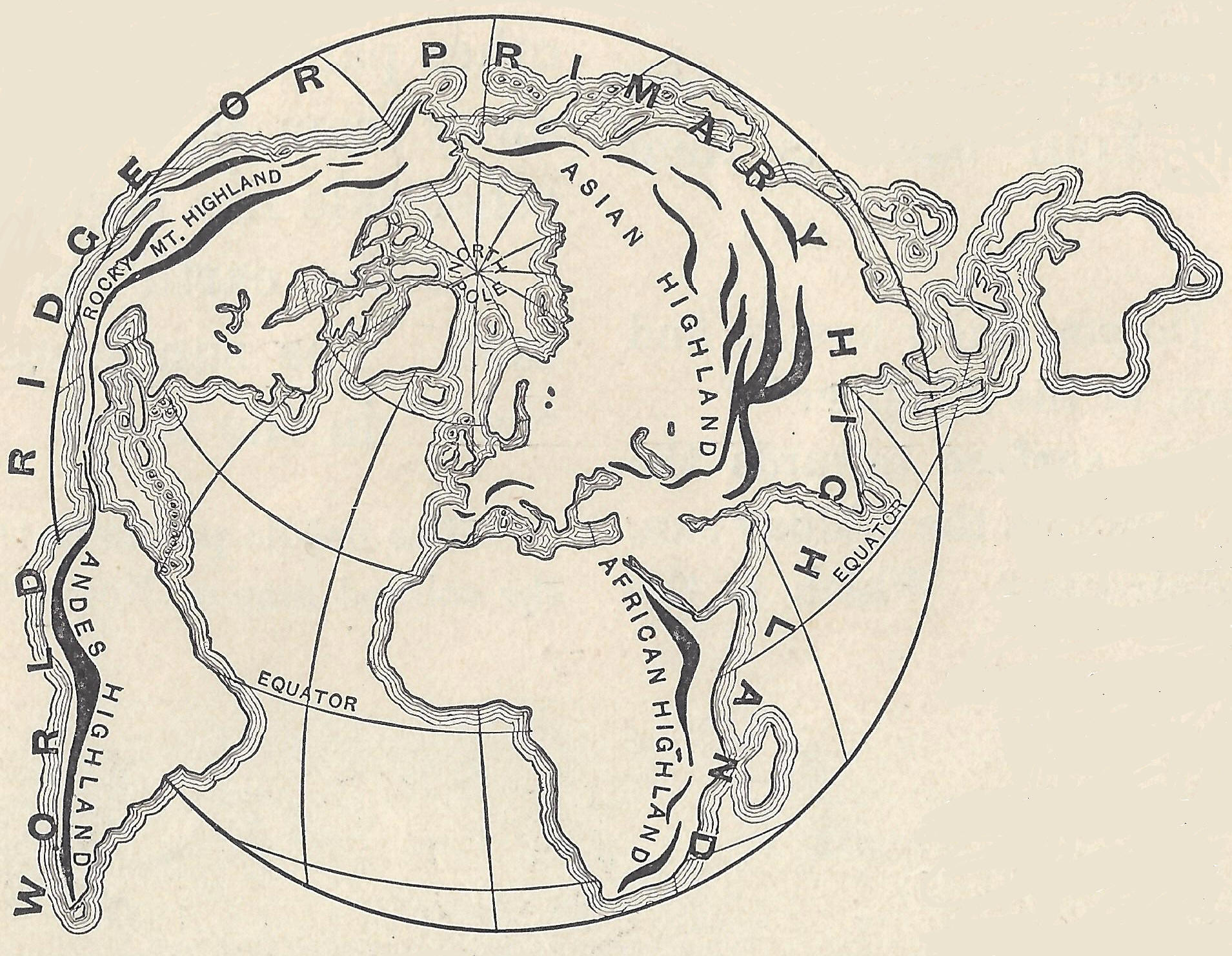
  Southern Hemisphere  World Ridge Map  Land and Water Hemispheres  Water Hemisphere  Land Hemisphere 


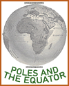
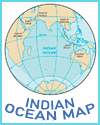
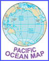
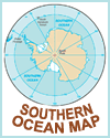
  Global Map of the Poles and Equator  Waves on the Seashore  Map of the Indian Ocean  Map of the Pacific Ocean  Map of the Southern Ocean 
  JPG PNG SVG   JPG PNG SVG   JPG PNG SVG   JPG PNG SVG   JPG PNG SVG  
  World Map of the Poles and the Equator  Waves on the Seashore  Map of the Indian Ocean  Map of the Pacific Ocean  Map of the Southern Ocean 


  NASA Earth Thermal Image Gallery             
  NASA Earth Thermal Image Gallery             


Using many images when teaching geography is greatly enriching because it helps K-12 students understand places they may never visit. Maps, photographs, satellite views, and drawings make abstract concepts concrete. When students see a photo of the Himalayas, the Amazon rainforest, or the Great Barrier Reef, they remember it far better than a paragraph of text alone.

Images build visual literacy, which is a key skill in our media-rich world. Students learn to read maps, interpret charts, and analyze photographs for clues about climate, land use, and culture. Comparing images from different regions helps them spot patterns and make connections. For example, seeing terraced farms in Peru and rice paddies in Vietnam shows how people adapt to different landscapes.

Images also support different learning styles and help English language learners access content. A picture of a volcano, a desert, or a crowded city street can spark curiosity and questions that drive deeper learning. When teachers pair images with discussion and writing, students practice describing, comparing, and explaining. This builds vocabulary and critical thinking. Ultimately, images make geography vivid, memorable, and engaging, helping students build a richer mental map of the world.


www.studenthandouts.com ↣ World Geography Teaching Materials ↣ Geography Image Gallery for Educators


Free Printable Brain Teaser and Head Scratcher Worksheets for Kids and AdultsFree Printable Holiday Worksheets


100% Free Handwriting Practice Printables - Print and Cursive