Teaching students about the geography of the Northern Mariana Islands is an incredibly enriching experience for K-12 educators because it introduces them to a fascinating part of the western Pacific Ocean. The Northern Mariana Islands is a U.S. commonwealth made up of 14 islands, including Saipan, Tinian, and Rota. Its location, tropical climate, and varied landscapes provide exciting opportunities for students to explore how geography shapes communities, culture, and everyday life.
One important benefit of studying the Northern Mariana Islands is learning about volcanic islands. Some islands have steep mountains, thick forests, and rugged coastlines, while others have flatter areas and coral reefs. These differences help students understand how volcanic activity and natural processes shape Earth's surface. Educators can encourage students to compare these islands with their own surroundings and discover how landforms influence where people live and how they use natural resources.
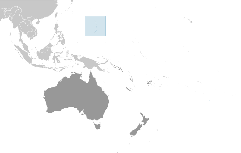
The region's location also makes it an excellent subject for teaching map skills and global geography. Situated east of the Philippines and north of Guam, the Northern Mariana Islands lies along important routes across the Pacific Ocean. Students can use maps to explore distances, ocean currents, and connections between islands and nearby countries. These activities help them understand how geography influences transportation, trade, and communication.
Studying the Northern Mariana Islands also encourages environmental awareness. Coral reefs provide homes for marine life and help protect coastlines, while tropical storms, coastal erosion, and rising sea levels can threaten local communities. Students can explore how people protect natural resources and prepare for severe weather. These lessons connect geography with science and encourage responsible environmental choices.
The islands also offer opportunities to explore history and culture. The Indigenous Chamorro and Carolinian peoples have deep connections to the land and ocean. Students can learn how fishing, farming, navigation, and local traditions reflect the region's environment. This helps build respect for different cultures and the knowledge passed down through generations.
Ultimately, teaching the geography of the Northern Mariana Islands helps students develop map-reading skills, critical thinking, and global awareness. It shows them that geography is more than memorizing places. By exploring these islands, students learn how natural environments, cultural traditions, and human activities shape communities and influence their place in the world.
|