


| Cook Islands Geography Educational Resources |
|---|
| www.studenthandouts.com ↣ World Geography ↣ Polynesia ↣ Cook Islands Geography Educational Resources |
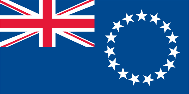 | 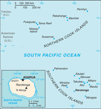 | 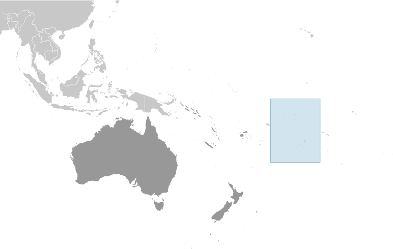 | ||||||||
| Flag of the Cook Islands | Cook Islands Political Map | Cook Islands Location Map |
|
Teaching students about the Cook Islands gives K-12 educators a wonderful way to explore the gorgeous South Pacific. This island nation is made up of fifteen small islands scattered across a vast ocean area. Students can learn how its tropical climate, coral reefs, and volcanic peaks shape life for the people who live there.
The Cook Islands have a strong Polynesian culture with unique language, music, and traditions. Its geography also connects to lessons about ocean health, climate change, and how small island nations face big environmental challenges. Learning about the Cook Islands builds global awareness and empathy. Many classrooms include Pacific Islander students, so these lessons can feel personal and validating. In short, the Cook Islands offer a beautiful, meaningful way to bring geography to life. The Cook Islands, located in the South Pacific Ocean, are a self-governing island country in free association with New Zealand. This archipelago consists of 15 islands spread over a vast area of 2 million square kilometers. The islands are divided into two groups: the Southern Cook Islands and the Northern Cook Islands, with the capital, Avarua, situated on Rarotonga, the largest and most populous island. With a population of around 17,000 people, the Cook Islands are renowned for their stunning natural beauty, including lush rainforests, pristine beaches, and vibrant coral reefs. Tourism is a cornerstone of the local economy, attracting visitors with the promise of tropical paradise and rich Polynesian culture. The islands are also known for their black pearl farming, particularly in the lagoon of Manihiki. Culturally, the Cook Islands maintain strong Polynesian traditions, with music, dance, and crafts playing central roles in daily life. The traditional dance, 'ura, and the making of tivaevae (intricate quilts) are particularly significant cultural practices. The official languages are English and Cook Islands Māori, reflecting the blend of indigenous and colonial influences. Economically, the Cook Islands rely heavily on tourism, but also on agriculture and fishing. The islands face challenges such as geographic isolation and vulnerability to climate change, but continue to thrive by preserving their cultural heritage and leveraging their natural beauty to attract global visitors. |
| www.studenthandouts.com ↣ World Geography ↣ Polynesia ↣ Cook Islands Geography Educational Resources |





