Map of the United States in 1896 | Student Handouts
 
Welcome to Student Handouts--www.studenthandouts.com! 100% free teaching materials for students in kindergarten through high school--lesson plans, worksheets, PowerPoints, outlines, interactive games, puzzles, and so much more!
 
Map of the United States in 1896
www.studenthandouts.com > U.S. History > Growth and Transformation > Maps and Pictures
 
 
Map of the United States in 1896
 
 
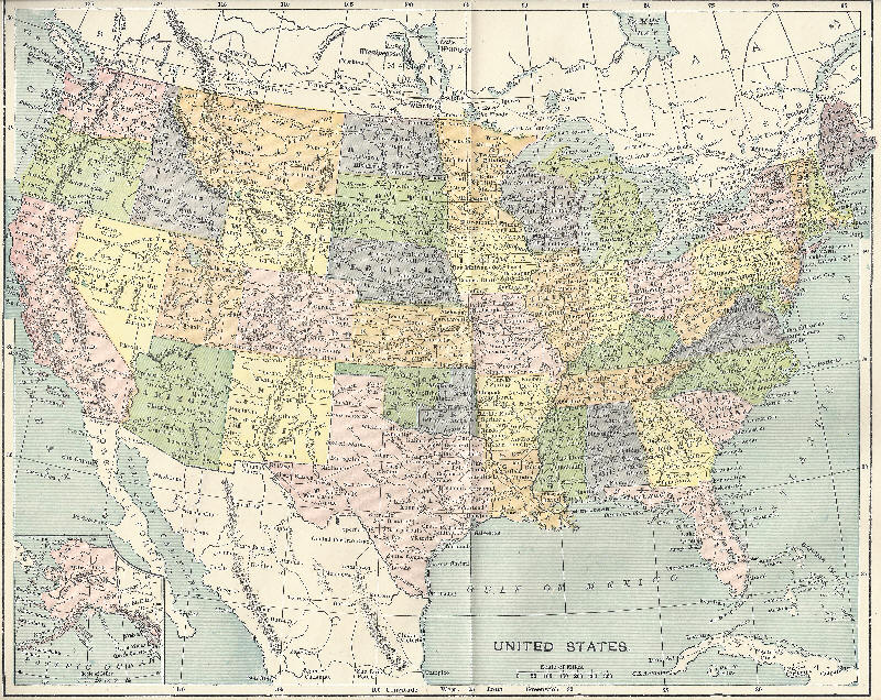
This authentic period map shows the United States of America in 1896. Alaska was still a territory. It would not be until a couple of years later that the United States would annex the Kingdom of Hawaii. Notice that the eastern portion of what is now Oklahoma is labeled "Indian Territory." Click here to enlarge.
 
 
Free K-12 Education Printables and More
The New Immigrants Writing Exercises
Jeffersonian Era Essay Questions
No PDAs in School Classroom Sign
Causes and Effects of the Spanish-American War
Third Party and Independent Candidates Reading with Questions
 
 
Growth and Transformation Books & Films   Growth and Transformation Miscellaneous
     
Growth and Transformation Maps & Pictures   Growth and Transformation Outlines & PPTs
     
Growth and Transformation Study Games   Growth and Transformation Worksheets
 
 
www.studenthandouts.com > U.S. History > Growth and Transformation > Maps and Pictures