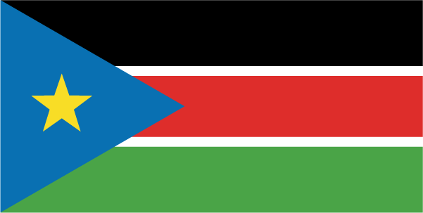
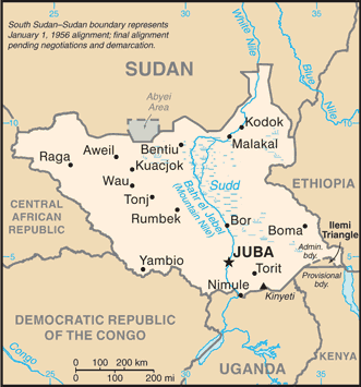
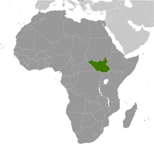
Learning about South Sudan's geography is important because it allows your K-12 students to understand how the world's youngest country is shaped by its rivers, wetlands, and climate. South Sudan gained independence in 2011, making it the newest nation on Earth. It sits in east-central Africa, bordered by Sudan, Ethiopia, Kenya, Uganda, the Democratic Republic of the Congo, and the Central African Republic. The White Nile flows through the country, and the vast Sudd wetlands spread across the center, creating one of the world's largest swamps. These wetlands support wildlife and help control flooding.
Studying South Sudan builds key geographic skills. Your K-12 students can explore how seasonal rains and rivers affect farming and herding, which most people depend on. They can also learn how oil reserves connect the country to global markets, and how conflict has affected development. The Sudd wetlands are a striking example of how geography influences biodiversity and water resources.
The country's cultural geography is rich, with over sixty ethnic groups, including the Dinka and Nuer, speaking many languages. For your wee learners, South Sudan is memorable because of its wetlands, wildlife, and young history. Studying it builds map skills, cultural awareness, and understanding of how geography shapes a new nation's challenges and opportunities.
|