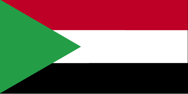
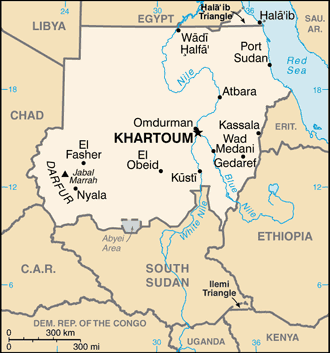
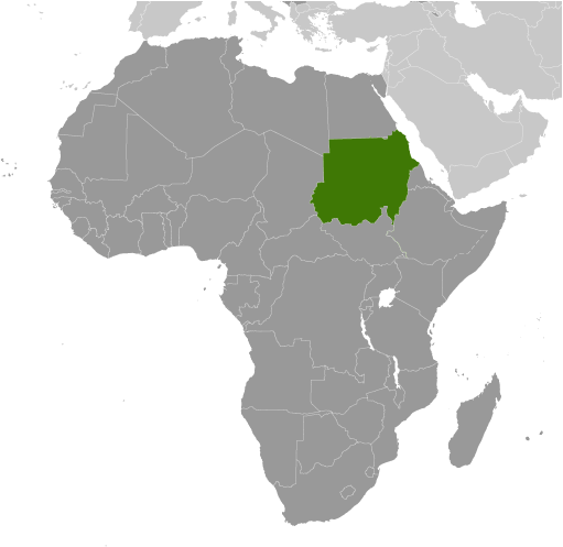
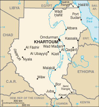
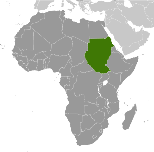
Learning about Sudan's geography is important because it helps your K-12 pupils understand how Africa's third-largest country connects the Sahara to the tropics. Sudan sits in northeastern Africa, bordered by Egypt, Libya, Chad, the Central African Republic, South Sudan, Ethiopia, Eritrea, and the Red Sea. The Nile River flows through the country, and where the Blue Nile and White Nile meet in Khartoum, they form the main Nile that continues north to Egypt. This river system supports farming and cities in an otherwise dry region.
Studying Sudan builds key geographic skills. Your students can explore how desert in the north and savanna in the south create different climates and ways of life. They can also learn about the Sahara's spread, called desertification, and how it affects farming. Sudan's economy depends on agriculture, oil, and gold, connecting it to global markets. The country also has a coastline on the Red Sea, which is important for trade and shipping.
The country's cultural geography is rich, with hundreds of ethnic groups speaking many languages. Ancient kingdoms like Kush and Meroë left pyramids and temples that still stand today. For young learners, Sudan is memorable because of the Nile, ancient pyramids, and diverse cultures. Studying it builds map skills, cultural awareness, and understanding of how geography shapes history and resources.
|