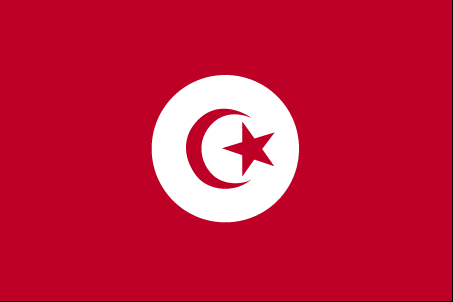
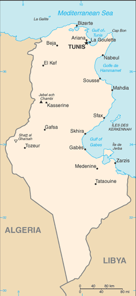
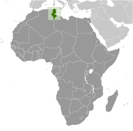
Learning about Tunisia's geography is important because it assists your K-12 students to understand how a small Mediterranean country connects Africa, Europe, and the Middle East. Tunisia sits in northern Africa, bordered by Algeria and Libya, with a long coastline on the Mediterranean Sea. The northern coast has fertile hills and plains, while the south stretches into the Sahara Desert. The Atlas Mountains run through the northwest, and the country's highest point, Jebel ech Chambi, rises over 1,500 meters. Tunisia is also home to ancient Carthage, a powerful trading empire that once rivaled Rome.
Studying Tunisia builds key geographic skills. Students can explore how Mediterranean climate supports farming of olives, dates, and citrus, while desert areas limit settlement. They can also learn how Tunisia's location made it a crossroads for trade and culture for thousands of years. Tourism along coastal beaches and historic ruins is a major part of the economy.
The country's cultural geography is rich, blending Arab, Berber, and Mediterranean influences. Tunisia was the birthplace of the Arab Spring in 2011, showing how geography connects to political change.
For young learners, Tunisia is memorable because of Carthage, the Sahara, and its Mediterranean beaches. Studying it builds map skills, cultural awareness, and understanding of how geography shapes a nation at the crossroads of three continents.
|