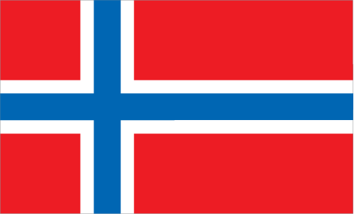
Learning about Bouvet Island's geography is pivotal because it helps your K-12 students understand extreme isolation and how harsh environments challenge human presence. Bouvet Island is a remote volcanic island in the South Atlantic Ocean, located about 1,600 miles off the coast of Antarctica and over 1,500 miles from South Africa. It is a territory of Norway and is considered the most remote island on Earth. Most of the island is covered by glaciers, and steep cliffs rise from the sea, making landing difficult.
Studying Bouvet Island builds key geographic skills. Your pupils can explore how sub-Antarctic climate, glaciers, and volcanic terrain create one of the most inhospitable places on the planet. They can also learn how ocean currents and latitude affect weather, and why the island has no permanent population. Its only inhabitants are seals, penguins, and seabirds. The island also matters for science and technology, since a weather station and communication equipment have been placed there.
For your younger learners, Bouvet Island is memorable because of its remoteness and dramatic icy landscape. Studying it builds map skills, environmental awareness, and understanding of how geography shapes extreme environments. It also reminds students that some places on Earth remain almost untouched by humans.
|