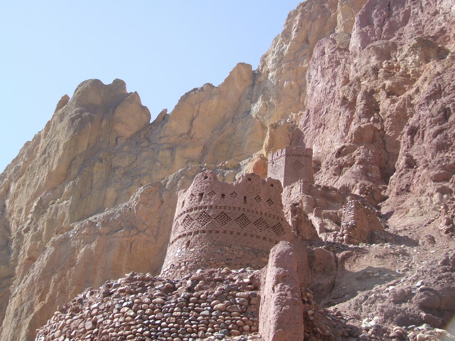
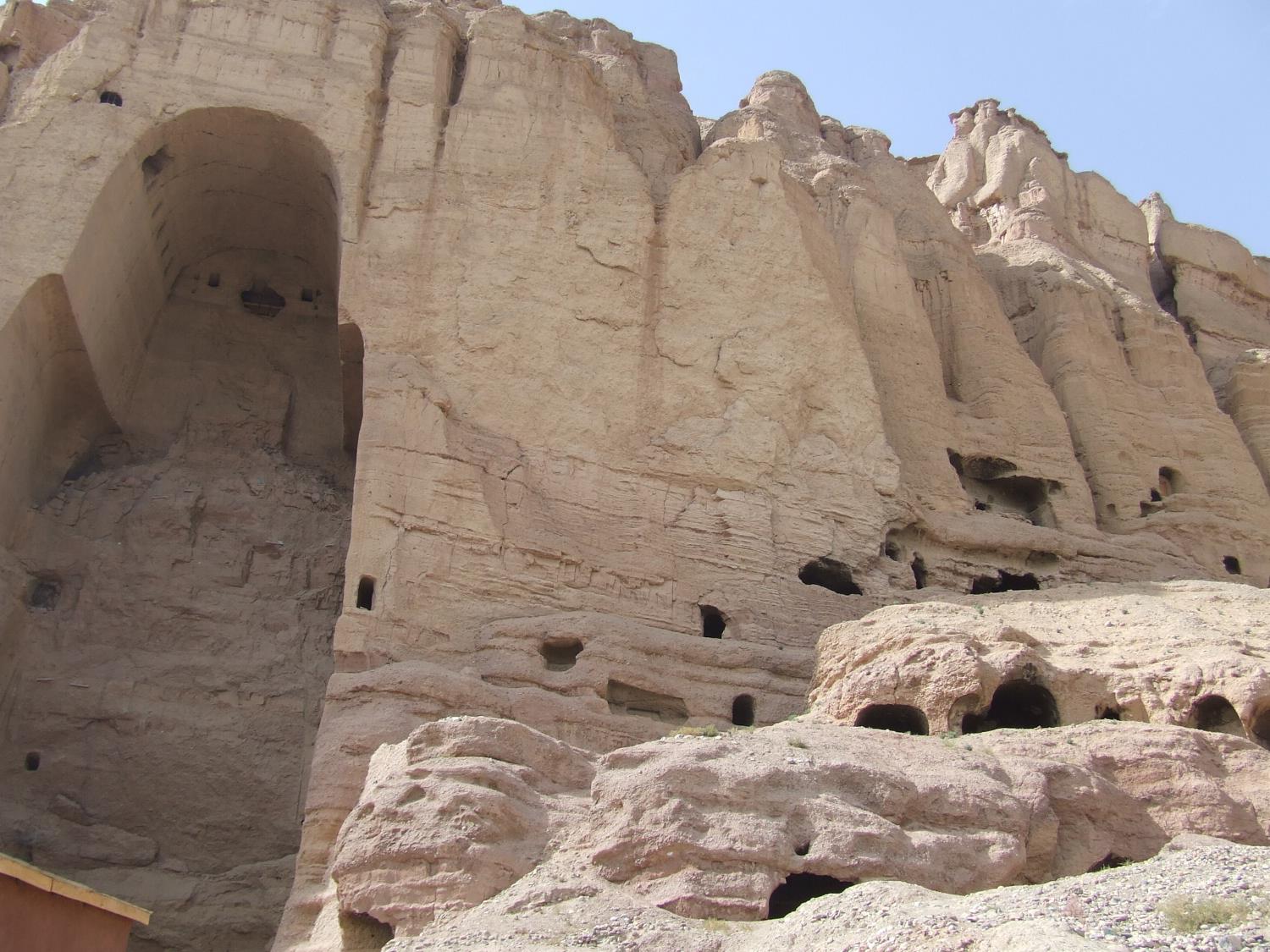
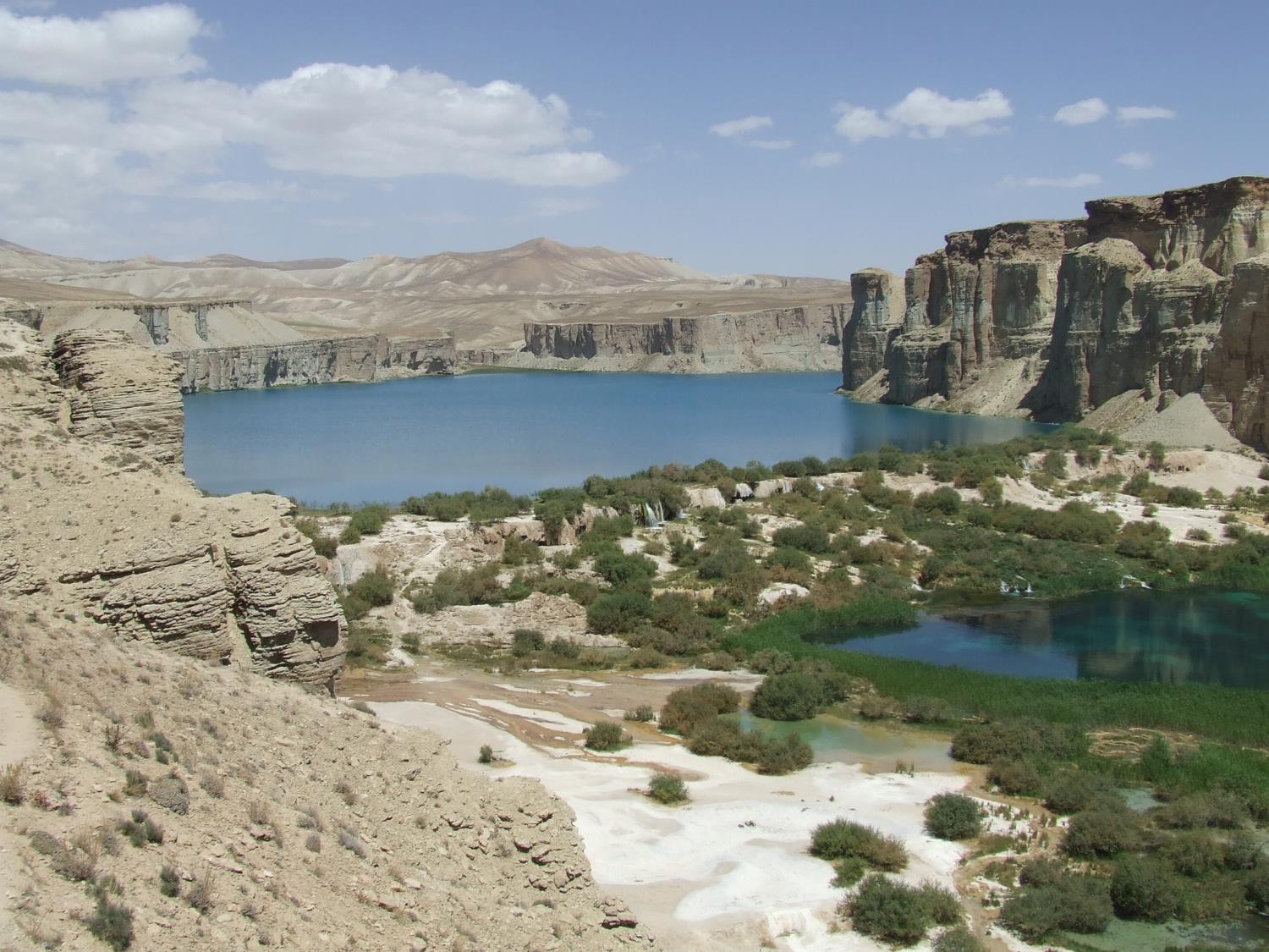
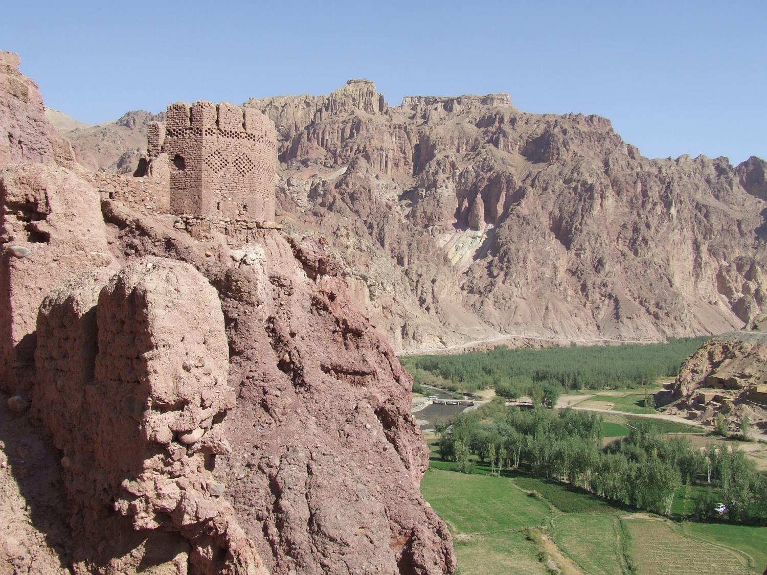
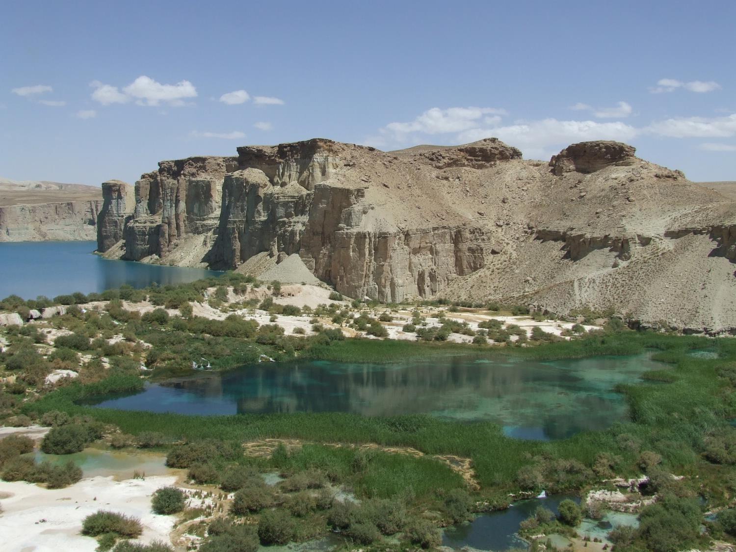
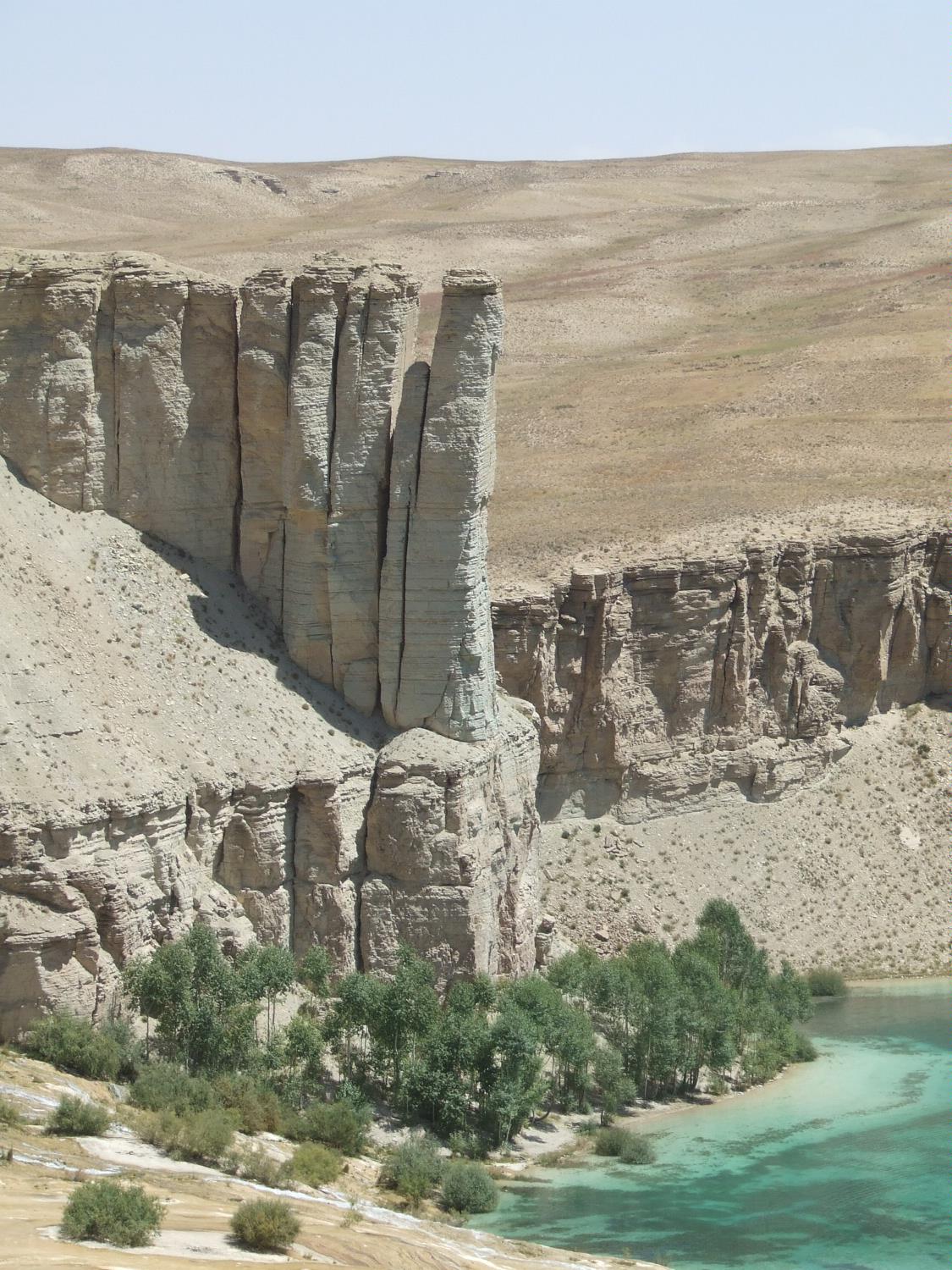
Learning about Afghanistan's geological formations is helpful because it shows K-12 students how the land itself tells a story of colliding continents and shifting forces. Afghanistan sits in South-Central Asia, and its landscape was shaped by the Indian tectonic plate crashing into the Eurasian plate. That collision pushed up the Hindu Kush and the western Himalayas, creating some of the highest and most rugged mountains on Earth. The country's highest peak, Noshaq, rises over 7,400 meters.
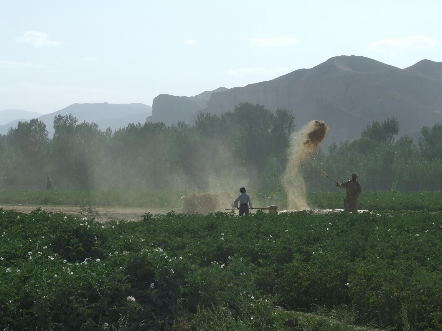
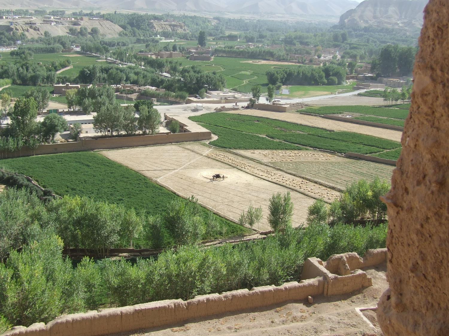
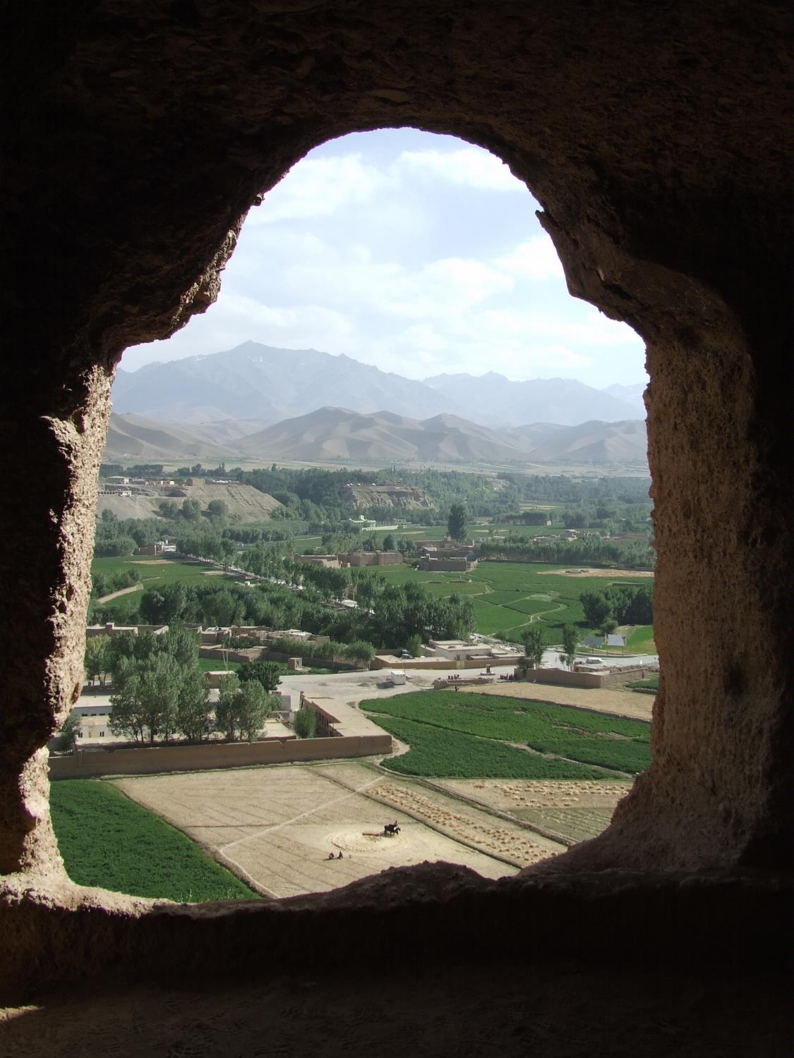
Studying Afghanistan's geology builds key geographic skills. Students can explore how plate tectonics build mountains, and how earthquakes shake the region because it sits near an active fault zone. They can also learn how minerals like lapis lazuli, copper, and lithium formed in these mountains, connecting geology to economics and global supply chains. Rivers fed by mountain snow support farming in valleys, even though most of the country is dry.
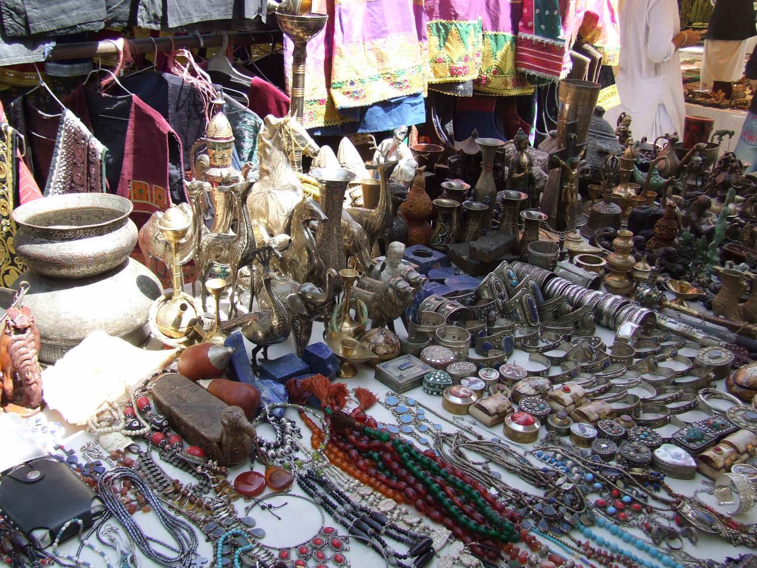
For young learners, Afghanistan is memorable because of its dramatic peaks, deep valleys, and colorful gemstones. Studying its geology builds science skills, map skills, and understanding of how Earth's processes shape where people live and what resources they use. It also helps students see that the same forces that create mountains also create risks like earthquakes and landslides, linking geology to everyday life.
|