


| Map of Central American Volcanoes |
|---|
| www.studenthandouts.com ↣ Geography ↣ Latin America ↣ Central America |
| This map illustrates major volcanoes located in Central America, between the Pacific Ocean and Caribbean Sea, just above the Isthmus of Panama. |
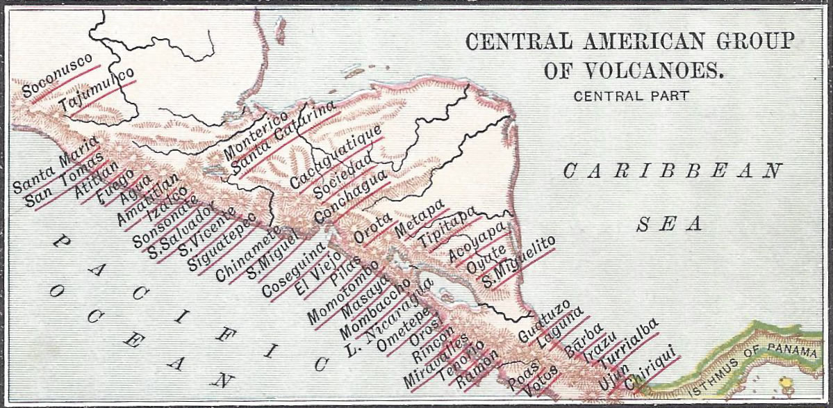 |
| Volcanoes include: Acoyapa, Agua, Amatitlan, Atitian, Barba, Cacaguatique, Chinamete, Chiriqui, Conchagua, Coseguina, El Viejo, Fuego, Guatuzo, Irazu, Izalco, L. Nicaragua, Laguna, Masaya, Metapa, Miravalles, Mombaccho, Momotombo, Monterico, Ometepe, Orosi, Orota, Oyate, Pilas, Poas, Ramon, Rincon, San Miguel, San Miguelito, San Salvador, San Tomas, San Vicente, Santa Catarina, Santa Maria, Siguatepec, Sociedad, Soconusco, Sonsonate, Tajumulco, Tenorio, Titipapa, Turrialba, Ujun, and Votos. |
 |  |  |  |  |
 |
| www.studenthandouts.com ↣ Geography ↣ Latin America ↣ Central America |


