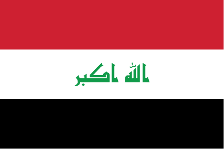
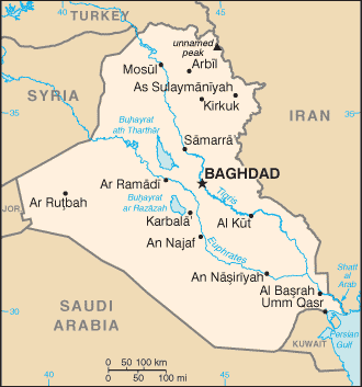
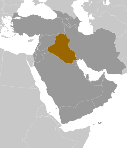
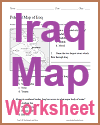
Teaching about Iraq is beneficial because it shows K-12 students how rivers, deserts, and oil shape a country with one of the world's oldest civilizations. Iraq sits in the Middle East, bordered by Turkey, Iran, Kuwait, Saudi Arabia, Jordan, and Syria, with a small coastline on the Persian Gulf. The Tigris and Euphrates rivers flow through the country, creating fertile land called Mesopotamia, which means "land between the rivers." This region is often called the cradle of civilization, where writing and cities first developed.
Studying Iraq builds key geographic skills. Students can explore how rivers support farming in an otherwise dry region, and how irrigation shaped early societies. They can also learn how Iraq's huge oil reserves connect it to global energy markets and how deserts in the west and marshes in the south create different environments. The country's location has made it a crossroads for trade and empires for thousands of years.
The country's cultural geography is rich, with Arab, Kurdish, and other groups speaking different languages. Ancient sites like Babylon and Ur still stand, linking geography to history. For young learners, Iraq is memorable because of its rivers, ancient cities, and oil. Studying it builds map skills, cultural awareness, and understanding of how geography shapes a nation's past and present.
|