Teaching about the geography of the former Yugoslavia is greatly informative because it helps K-12 students understand how a single country can be shaped by mountains, rivers, coastlines, and deep cultural differences—and why it eventually broke apart.
Yugoslavia existed in southeastern Europe from 1918 to 1992, and it included six republics: Bosnia and Herzegovina, Croatia, Macedonia, Montenegro, Serbia, and Slovenia. It also included Kosovo and Vojvodina as autonomous regions. The country stretched from the Alps in the northwest to the Adriatic Sea in the southwest and the Balkan Mountains in the east.
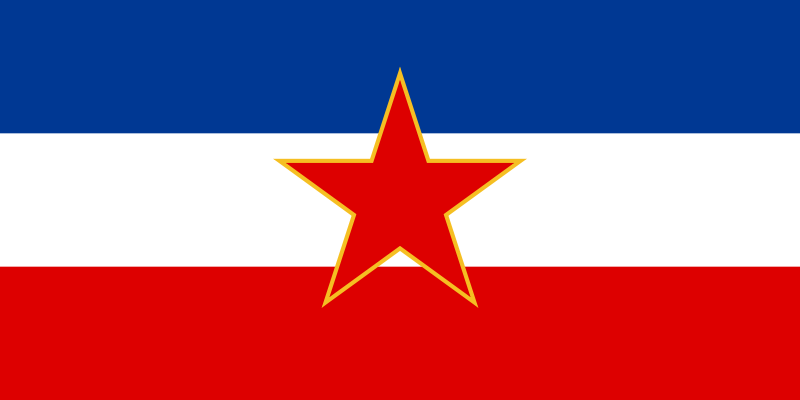 Studying Yugoslavia's geography builds key geographic skills. Students can explore how the Dinaric Alps divided the coast from the interior, and how rivers like the Danube, Sava, and Drava connected the region to wider Europe. They can also learn how Yugoslavia's location made it a crossroads for Roman, Byzantine, Ottoman, and Austro-Hungarian empires, creating a mix of languages, religions, and traditions. These differences were both a strength and a source of tension.
The country's cultural geography is rich, with Orthodox, Catholic, and Muslim communities living side by side. For young learners, Yugoslavia is memorable because of its complex history and the wars that followed its breakup in the 1990s. Studying it builds map skills, cultural awareness, and understanding of how geography shapes identity, conflict, and cooperation in the Balkans. It also helps students see how political borders can change while the land itself remains the same.
|