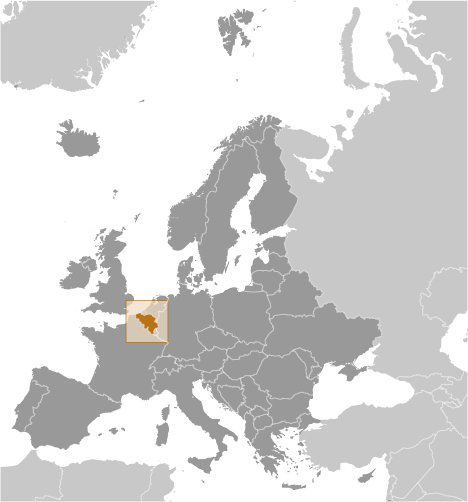
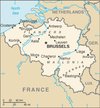
Teaching about Belgium is greatly enriching because it shows K-12 students how a small country can be a crossroads for languages, cultures, and European power. Belgium sits in Western Europe, bordered by France, Luxembourg, Germany, and the Netherlands, with a coastline on the North Sea. The country is divided into three regions: Flanders in the north, where Dutch is spoken; Wallonia in the south, where French is spoken; and the Brussels-Capital Region, which is officially bilingual. This division makes Belgium a living example of how geography and language connect.
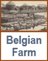
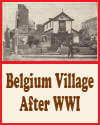
Studying Belgium builds key geographic skills. Students can explore how flat coastal plains, rolling hills, and rivers like the Meuse and Scheldt support farming, shipping, and industry. They can also learn how Belgium's location made it a battleground in both World Wars and a founding member of the European Union. Brussels hosts major EU institutions, earning it the nickname "capital of Europe." Ports like Antwerp are among Europe's busiest, linking the country to global trade.
The country's cultural geography is rich, with medieval cities like Bruges and Ghent, famous chocolate, waffles, and beer, and art by Rubens and Magritte. For young learners, Belgium is memorable because of its comic heroes like Tintin and the Smurfs. Studying it builds map skills, cultural awareness, and understanding of how geography shapes a nation's identity and role in Europe.
|