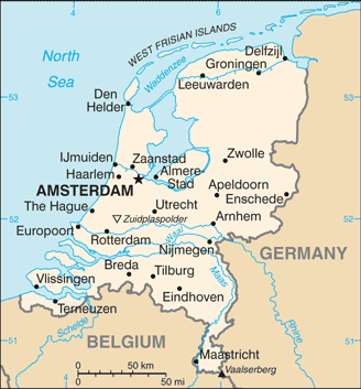
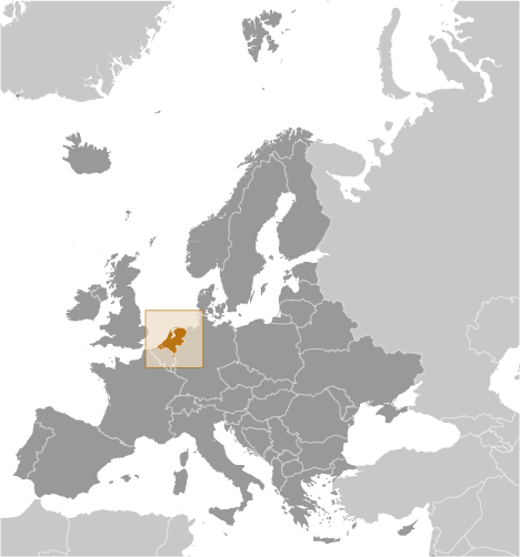
Teaching about the Netherlands is highly beneficial because it shows K-12 students how a low-lying country can reshape its landscape and become a global leader in trade, farming, and water management. The Netherlands sits in Western Europe, bordered by Germany and Belgium, with a long coastline on the North Sea. The country's name means "low lands," and about a quarter of it lies below sea level. For centuries, the Dutch have built dikes, canals, and pumps to hold back water and create new land. This struggle with the sea shaped their culture and engineering skills.
Studying the Netherlands builds key geographic skills. Students can explore how polders—land reclaimed from water—provide space for farming and cities. They can also learn how Rotterdam became one of the world's busiest ports, connecting Europe to global trade through the Rhine River. Despite its small size, the Netherlands is a major exporter of flowers, cheese, and vegetables grown in greenhouses.
The country's cultural geography is rich, with windmills, tulips, bicycles, and cities like Amsterdam and The Hague. For young learners, the Netherlands is memorable because of its canals, dikes, and wooden shoes. Studying it builds map skills, cultural awareness, and understanding of how geography shapes a nation's economy and identity in Europe.
|