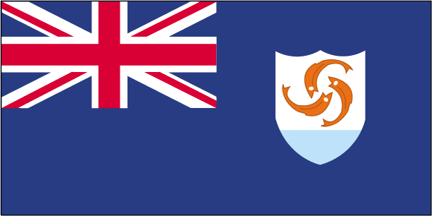
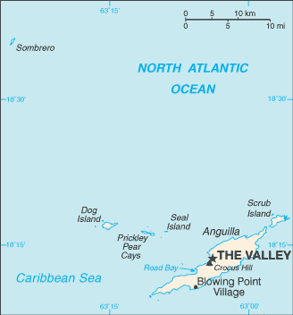
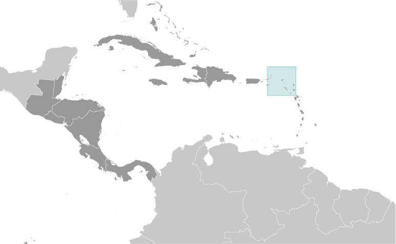
Teaching about Anguilla is highly beneficial because it shows K-12 students how a tiny Caribbean island can build a distinct identity and economy from its geography. Anguilla is a British Overseas Territory in the eastern Caribbean, part of the Leeward Islands chain. It sits about 200 miles east of Puerto Rico and just north of St. Martin. The island is flat and low, made mostly of limestone and coral, with no mountains or rivers. Its coastline features stunning white-sand beaches, coral reefs, and salt ponds. The climate is tropical, with warm temperatures year-round and a hurricane season from June to November.
Studying Anguilla builds key geographic skills. Students can explore how coral and limestone formed the island and how salt ponds supported the economy for centuries before tourism took over. They can also learn how the reefs protect the coast and support marine life. Because Anguilla has few natural resources and little farmland, it depends heavily on tourism, offshore finance, and fishing. Its location near other Caribbean islands shapes its trade and travel connections.
The island's cultural geography blends African, British, and Caribbean influences, seen in its language, music, and boat-racing traditions. For young learners, Anguilla is memorable because of its beaches, reefs, and festive culture. Studying it builds map skills, cultural awareness, and understanding of how geography shapes small island economies and identities in the Caribbean.
|