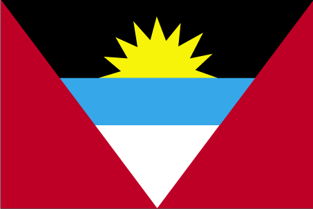
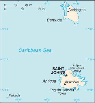
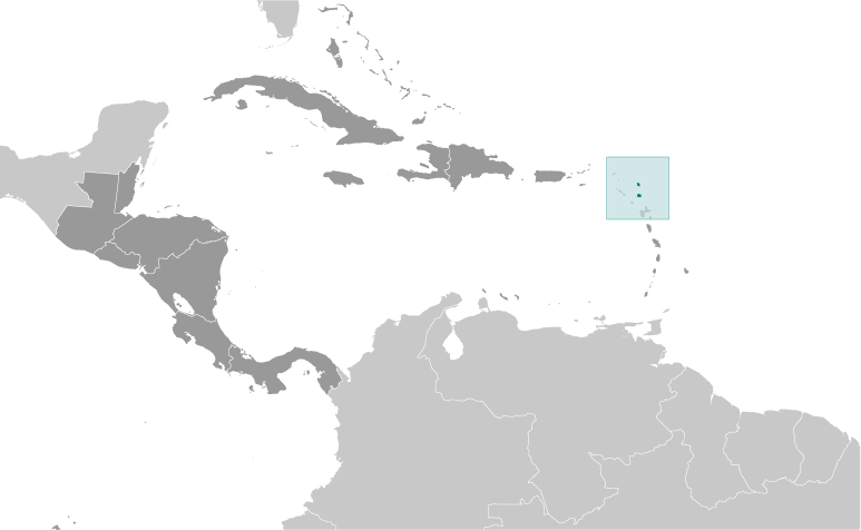
Teaching about Antigua and Barbuda is highly beneficial because it shows K-12 students how two small Caribbean islands can use their geography to build a distinct economy and culture. Antigua and Barbuda sits in the eastern Caribbean, part of the Leeward Islands. The country includes two main islands—Antigua and Barbuda—plus smaller islets. Antigua is the larger island, with rolling hills, coral limestone, and many beaches. Barbuda is flatter and less developed, known for its frigate bird colony and pink-sand beaches. The climate is tropical, with warm temperatures and a hurricane season from June to November.
Studying Antigua and Barbuda builds key geographic skills. Students can explore how coral reefs and limestone shaped the islands and how the surrounding ocean supports fishing and tourism. They can also learn how the country's location in the eastern Caribbean made it important for shipping and trade during colonial times. Today, tourism and offshore finance drive the economy, while farming of cotton, fruits, and vegetables remains limited by dry conditions and scarce fresh water.
The country's cultural geography blends African, British, and Caribbean influences, seen in its language, music, and famous Carnival festival. For young learners, Antigua and Barbuda is memorable because of its beaches, reefs, and frigate birds. Studying it builds map skills, cultural awareness, and understanding of how geography shapes small island nations in the Caribbean.
|