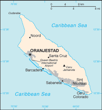
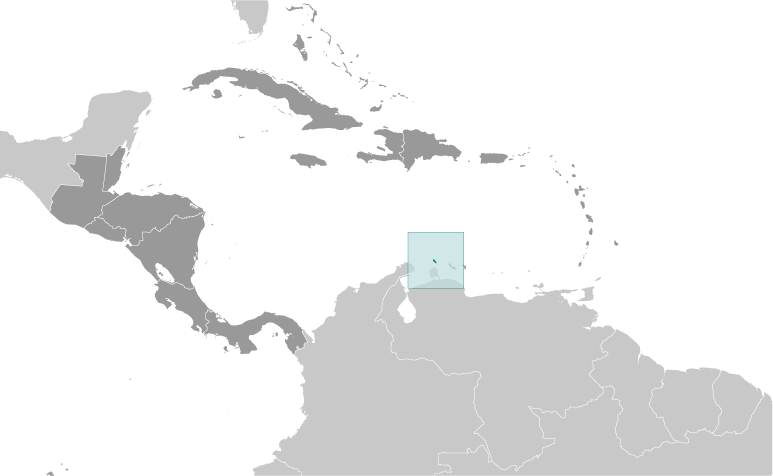
Teaching about Aruba is highly beneficial because it shows K-12 students how a small Caribbean island can use its dry climate and location to build a thriving tourism economy. Aruba sits in the southern Caribbean Sea, just off the coast of Venezuela. It is part of the Kingdom of the Netherlands but has its own government. Unlike many Caribbean islands, Aruba is dry and sunny, with cactus-filled landscapes, white-sand beaches, and constant ocean breezes. It sits outside the main hurricane belt, which helps its tourism industry.
Studying Aruba builds key geographic skills. Students can explore how its dry climate shaped settlement and farming, and how limited fresh water led to one of the world's largest desalination plants. They can also learn how Aruba's location near South America influences its trade, culture, and language. Tourism, oil refining, and offshore banking drive the economy. The island's reefs and shipwrecks attract divers from around the world.
The island's cultural geography blends Arawak, Spanish, Dutch, and African influences, seen in its Papiamento language, music, and festivals. For young learners, Aruba is memorable because of its beaches, divi-divi trees, and colorful capital, Oranjestad. Studying it builds map skills, cultural awareness, and understanding of how geography shapes small island economies.
|