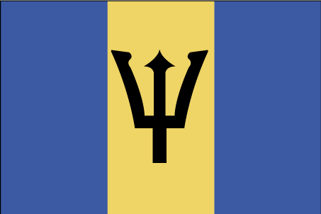
Teaching about Barbados is highly beneficial because it shows K-12 students how a small coral island can use its geography to build a stable economy and a strong cultural identity.
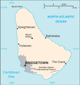
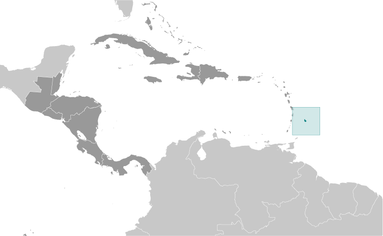
Barbados sits in the eastern Caribbean, the easternmost island in the Lesser Antilles chain. It is made mostly of coral limestone, with gentle hills and no mountains or rivers. The climate is tropical, with warm temperatures year-round and a hurricane season from June to November. Its location puts it outside the main hurricane belt, which has helped protect its farms and cities.
Studying Barbados builds key geographic skills. Students can explore how coral reefs and limestone shaped the island and how the surrounding ocean supports fishing and tourism. They can also learn how sugarcane once dominated the economy and how the island shifted to tourism, offshore finance, and light manufacturing. Fresh water is limited, so the island relies on wells and desalination. Its eastern coast faces strong Atlantic waves, while the western coast has calm beaches.
The country's cultural geography blends African, British, and Caribbean influences, seen in its language, music like calypso and soca, and foods like flying fish and cou-cou. Barbados became independent in 1966 and a republic in 2021. For young learners, Barbados is memorable because of its beaches, flying fish, and vibrant festivals. Studying it builds map skills, cultural awareness, and understanding of how geography shapes island life and identity in the Caribbean.
|