Teaching about the Cayman Islands is highly beneficial because it shows K-12 students how a small Caribbean territory can use its geography to become a global financial center and a popular tourist destination.
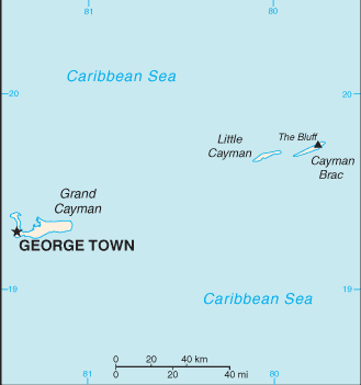
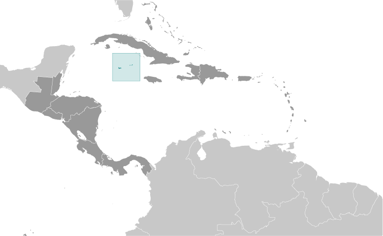
The Cayman Islands is a British Overseas Territory in the western Caribbean Sea, south of Cuba and northwest of Jamaica. It includes three main islands: Grand Cayman, Cayman Brac, and Little Cayman. The islands are mostly flat, made of limestone and coral, with white-sand beaches and coral reefs. The climate is tropical, with warm weather year-round and a hurricane season from June to November.
Studying the Cayman Islands builds key geographic skills. Students can explore how coral reefs and limestone formed the islands and how the surrounding clear waters support diving and tourism. They can also learn how the islands' location near major shipping lanes and the United States shaped their role in trade and finance. Tourism and offshore banking drive the economy, while fishing remains important on smaller islands. Hurricanes, like Ivan in 2004, show how geography links to natural hazards.
The islands' cultural geography blends African, British, and Caribbean influences, seen in its language, music, and festivals. For young learners, the Cayman Islands is memorable because of its beaches, stingrays, and turtle farms. Studying it builds map skills, cultural awareness, and understanding of how geography shapes small island economies and identities in the Caribbean.
|